Seamless Modeling
Redefining Spatial Intelligence with Advanced LiDAR Engineering
ASC Technology Solutions provides leading LiDAR Engineering service, which transforms raw spatial data into highly accurate data and usable intelligence. With the use of Light Detection and Ranging (LiDAR) technology, we can take accurate 3D readings by reflecting laser pulses to map life on Earth in the finest detail.
LiDAR solutions create high-density point cloud data, which is an accurate depiction of terrain, structures, and assets. This facilitates informed decision-making in architecture, infrastructure, research, mapping, and the environment. We are based on accuracy, consistency, and scalability in all projects. Our knowledge will provide our reliability in spatial insight, even in a complex and large-scale environment. LiDAR-powered intelligence enables us to assist in planning smarter and ensuring execution in organizations.
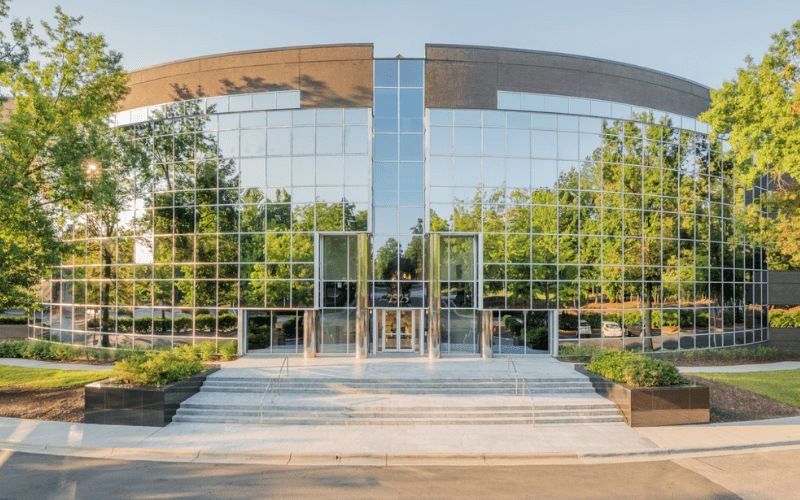
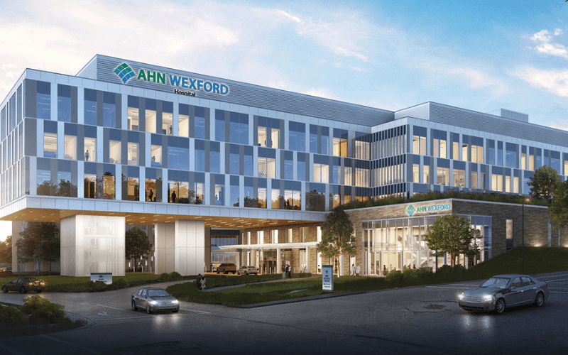
Our Valued BIM Clients
Trusted by industry leaders across projects and geographies
1000+
Client served around the globe
Impactful design
Transforming Real-World Data into High-Precision LiDAR Intelligence
Our LiDAR Engineering solutions go beyond data capture and into high-processing, categorizing, and mapping solutions. ASC Technology Solutions focuses on the extraction of features, the optimization of data, and intelligent classification, which can be used in urban planning, environmental analysis, agriculture, and the management of infrastructure. LiDAR-based drafting solutions for accurate network planning and system monitoring are our solutions. We are compatible with any other advanced visualization technologies, such as AR-enabled experiences. Strict quality assurance/quality control will be carried out to deliver high-accuracy/performance deliverables. Our technical know-how, coupled with effective processing, gives us low-cost and high-quality LiDAR products. Our solutions enable our clients to have accurate, forward-thinking geospatial intelligence.
Transformative Solutions
Our Extensive LiDAR Engineering services
Turning complex ideas into practical, high-quality outcomes while empowering clients to achieve success with confidence and clarity.
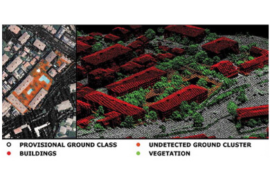
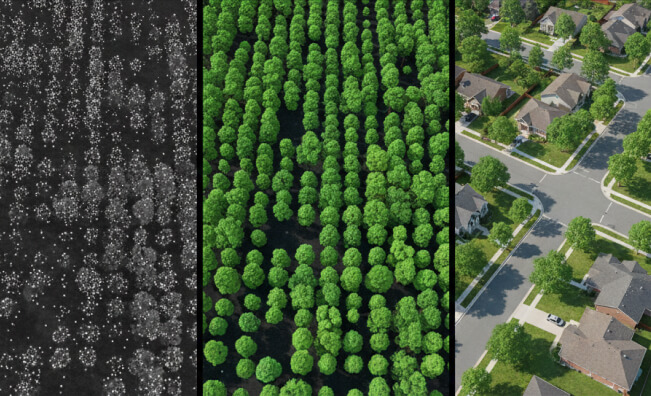
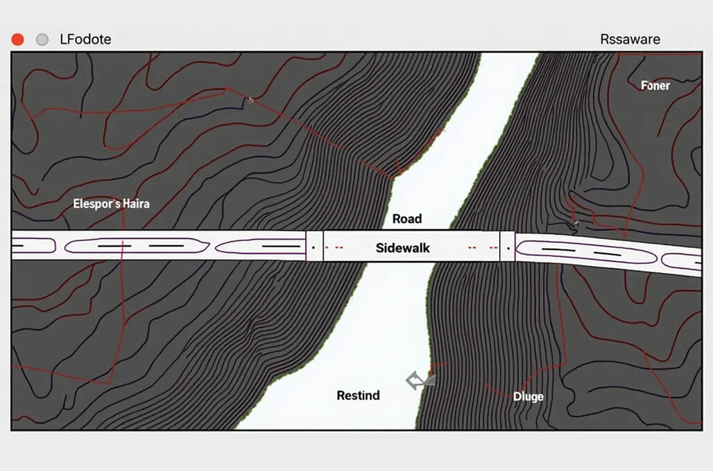
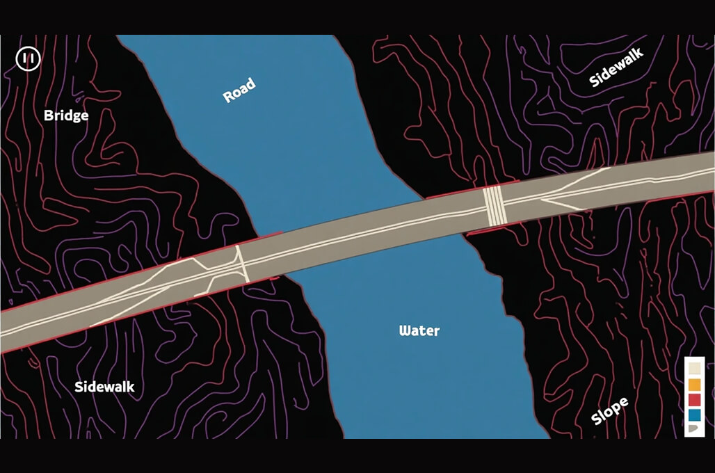
Classification of Bare Earth, Vegetation, Buildings, and Bridges
LiDAR can yield accurate representations of bare earth and vegetation features, buildings, and bridges. Precise bare earth, vegetation, building, and bridges classification lies at the foundation of good urban planning, environmental, and infrastructure development undertakings.
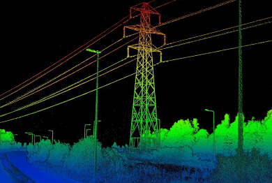
Electrical Utility Mapping / Power Line Classification and Mapping
The LiDAR processing system is used to process LiDAR data to identify and classify power line elements using the wooden poles and wiring elements. By providing their proactive asset control systems to prevent service disruptions, the utility service allows the power providers to optimise their maintenance procedures as well as provide them with regulatory compliance.
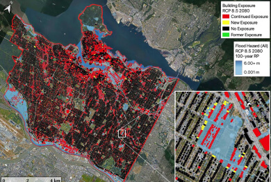
Flood Mapping
Based on the high-resolution LiDAR imagery, we create comprehensive flood maps that demonstrate the water movement patterns alongside flood boundaries and locations of the hazardous areas. The service offers necessary assistance to the disaster response works, development of urban drainage, and environmental sustainability practices that aid in the development of effective risk reduction systems.
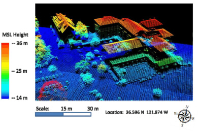
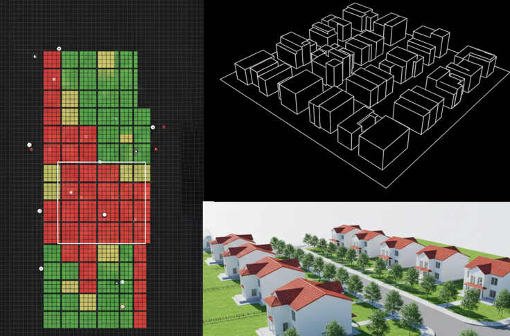
3D Modeling and 3D Feature Extraction
The efficiency of our processing methods will enable the creation of accurate 3D images of buildings, terrain, and infrastructure, utilizing LiDAR point cloud information to provide enhanced visualization and detailed analysis. These models are the foundations of construction projects, along with city planning, as well as AR/VR applications, which generate accurate simulations and decision-making procedures.
How We Work
Our BIM Workflow
We have combined technical skills with real project knowledge to provide quality BIM-based solutions. From early concept to detailed execution, we strive to make the right decisions, collaborate, and create long-term value that helps make decisions smarter and project-based results successful.
01
Concept & Consultation
The first step we take towards your project is to know about your objectives and the technical challenges of the project. Our professionals work hand-in-hand with the stakeholders to establish the scope, expectations, and a solid ground for efficient and quality delivery of the BIM.
02
Design & Planning
Our team is able to produce coordinated BIM models that are clear and precise, reflecting design intent. We also plan and validate to ensure there is an optimized workflow, fewer conflicts, and improved coordination of all project disciplines.
03
Development & Execution
We have approved designs that we convert to fine BIM models, ready to construct. Our execution phase stresses compliance and accuracy which the effective coordination is achieved, and the rework is reduced, enabling projects to proceed smoothly.
04
Final Delivery & Handover
We provide complete validated BIM models and documents depending on the project requirements. We have a well-organized handover approach that guarantees a seamless transition operation, and proper data accessibility with long-term functionality to the construction, operation, and facility management teams.


- 2k+
Align with Businesses that Choose Quality
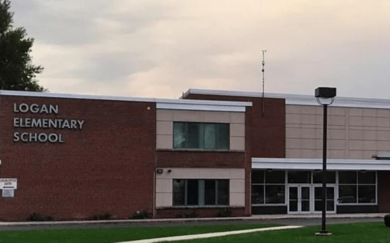
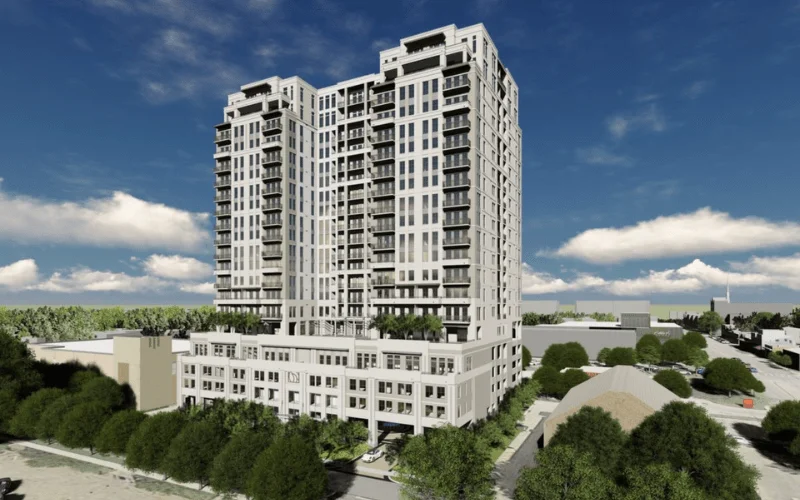
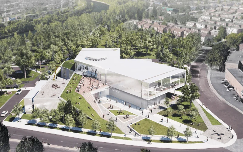
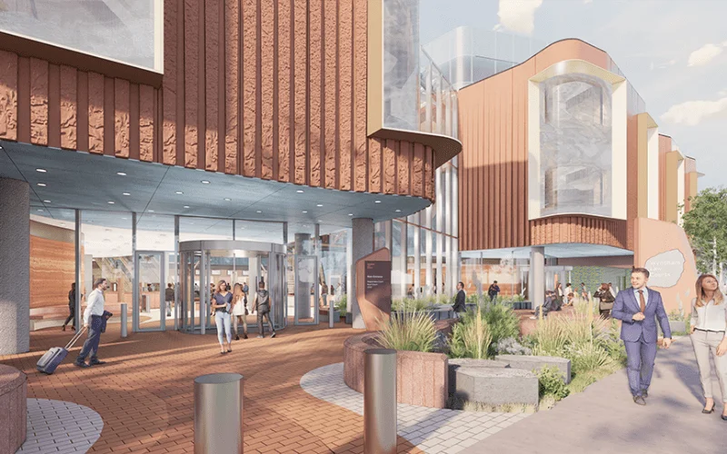
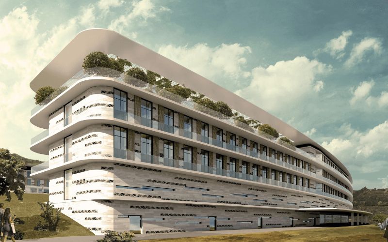
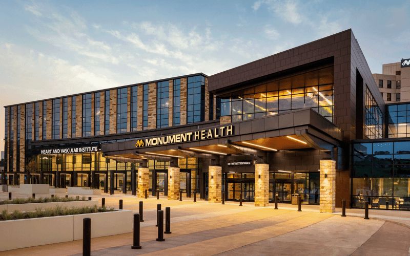
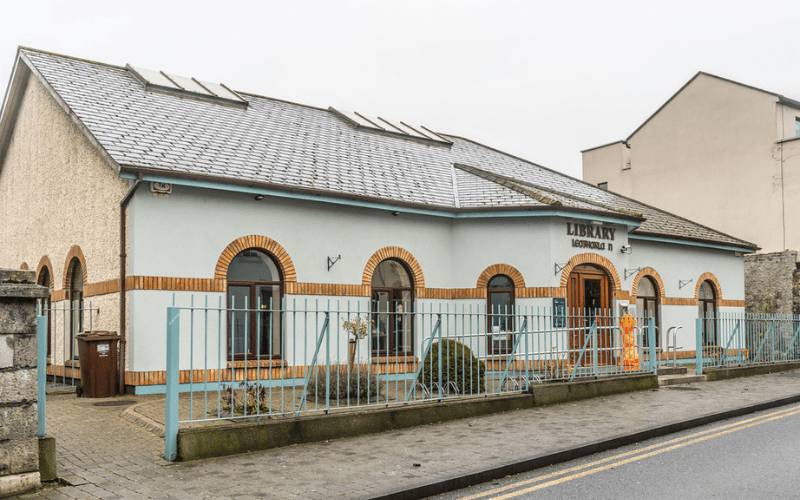
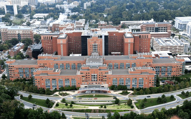
Recent Projects
2,500+ BIM Modeling Services Projects Across the USA


Unlock advantages
Benefit Yourself By Working With Us
- Provides very precise LiDAR data processing and mapping solutions, which allow for the execution of precise spatial analysis and ensure decisions in a variety of industries.
- Minimizes operation expenses through the outsourcing of complex LiDAR business practices, enabling your internal resources to be involved in other business priorities.
- Guarantees quick turnaround times and does not degrade accuracy in supporting accurate project completion with detailed and quality outputs.
- Delivers geospatial intelligence with industry-specific geographical data through superior LiDAR technologies and manual data treatments.
- Enforces a high level of QC/QA to ensure reliability, high quality, and accuracy of the results of every LiDAR project.
- Has flexible engagement models and has available experienced LiDAR professionals that will support the success of the project in the long-term.
Lorem Ipsum has
Why Outsource Your GIS Services to ASC Technology Solutions?
Proven Expertise You Can Trust
Our team at ASC Technology Solutions is technically very competent in all projects. At every stage, our specialists and GIS professionals work in full compliance with local regulations, industry standards, and best practices, making your GIS Services accurate, compliant, and eminently reliable.
Seamless Collaboration in Your Time Zone
We understand how essential efficient communication is during complex, data-driven projects. This is why our teams operate within your time zone, allowing our GIS Services and coordination processes to progress faster, support quicker decisions, and keep workflows highly efficient.
Cost-Effective Solutions Tailored to You
ASC Technology Solutions delivers high-quality GIS Services, spatial data management, and geospatial visualization solutions at competitive pricing. Costs vary based on project scope and requirements, ensuring maximum value without compromising accuracy or depth of deliverables.
Secure, Stable, and Advanced IT Setup
With our sophisticated IT infrastructure, your geospatial data remains secure. Reliable software, encrypted data transfer systems, and advanced hardware enable error-free processing, streamlined workflows, and seamless delivery of services such as spatial analysis, data conversion, and visualization.
Continuous Skill Development for Better Output
Our team undergoes continuous training to stay aligned with the latest GIS tools, remote sensing technologies, and geospatial methodologies. This ongoing upskilling enhances data accuracy, reduces turnaround time, and improves outcomes across all GIS outsourcing projects.
Clear Policies for Smooth Collaboration
Before initiating any project, we establish transparent contracts and defined workflows. This minimizes risks, avoids miscommunication, and ensures a smooth, collaborative partnership throughout the entire lifecycle of your GIS Services.
Model insights
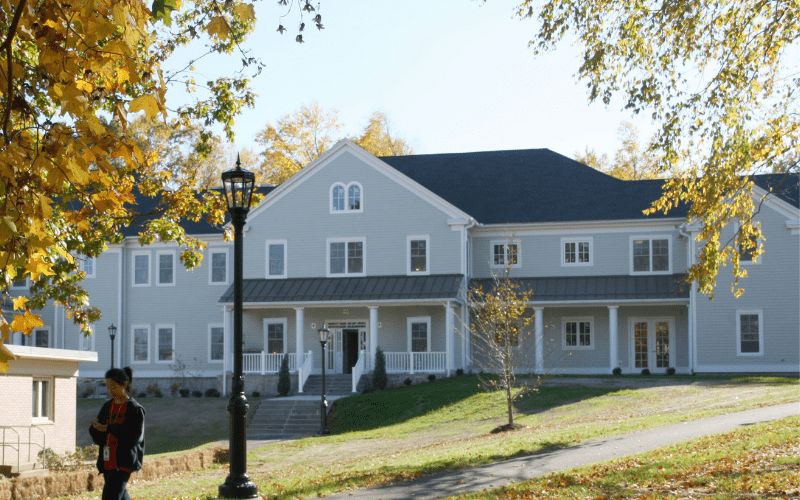
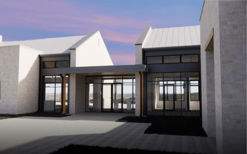
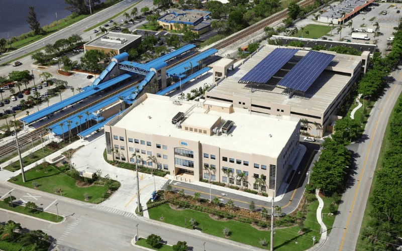
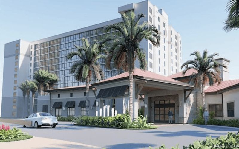
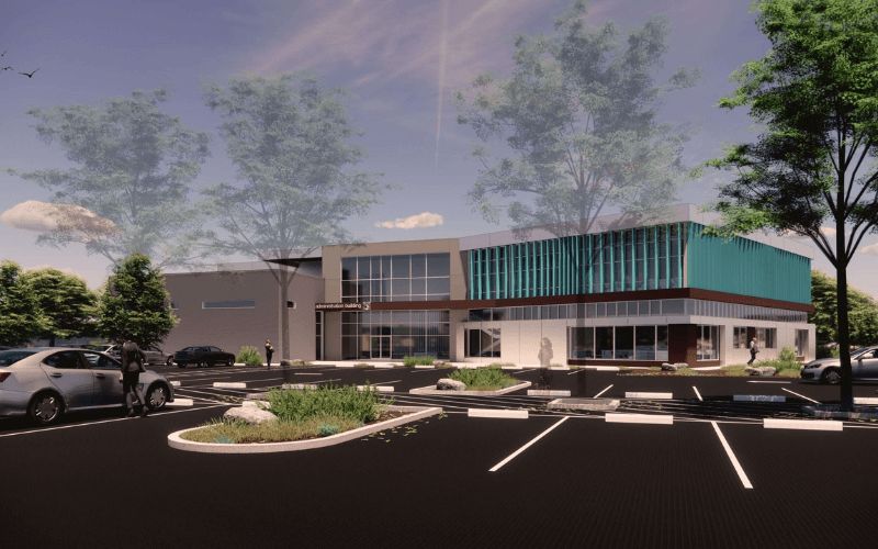
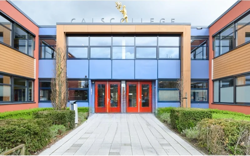
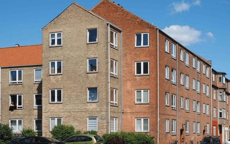
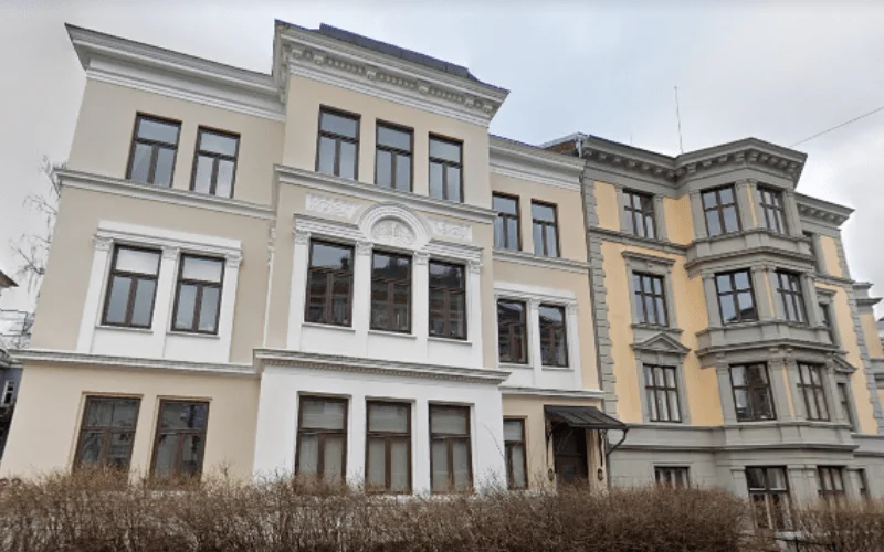
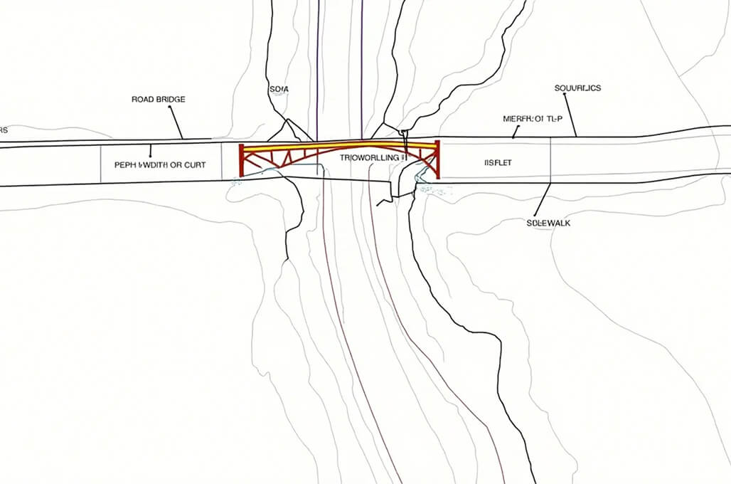
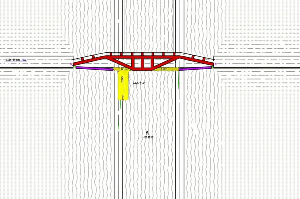
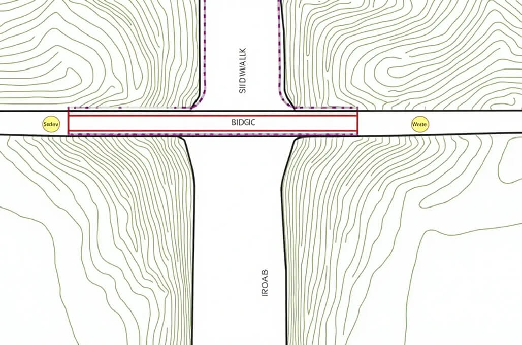
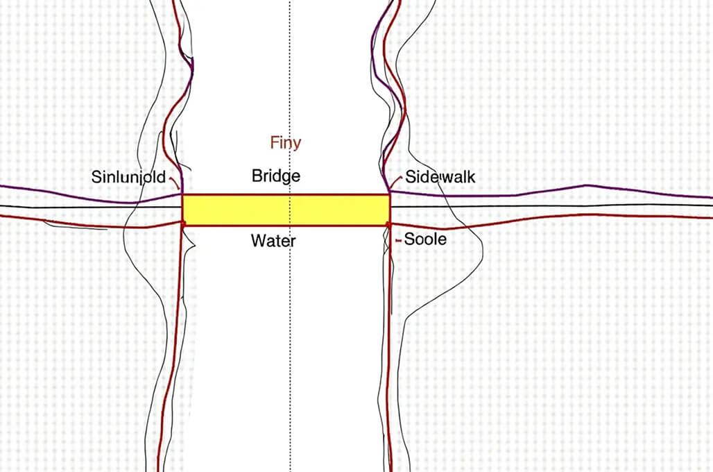
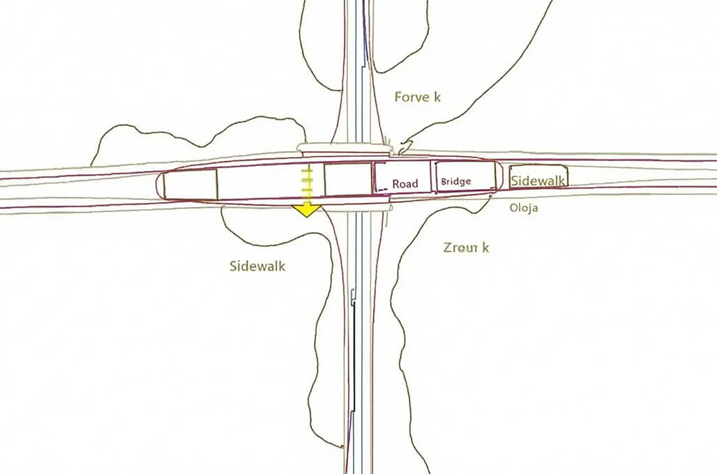
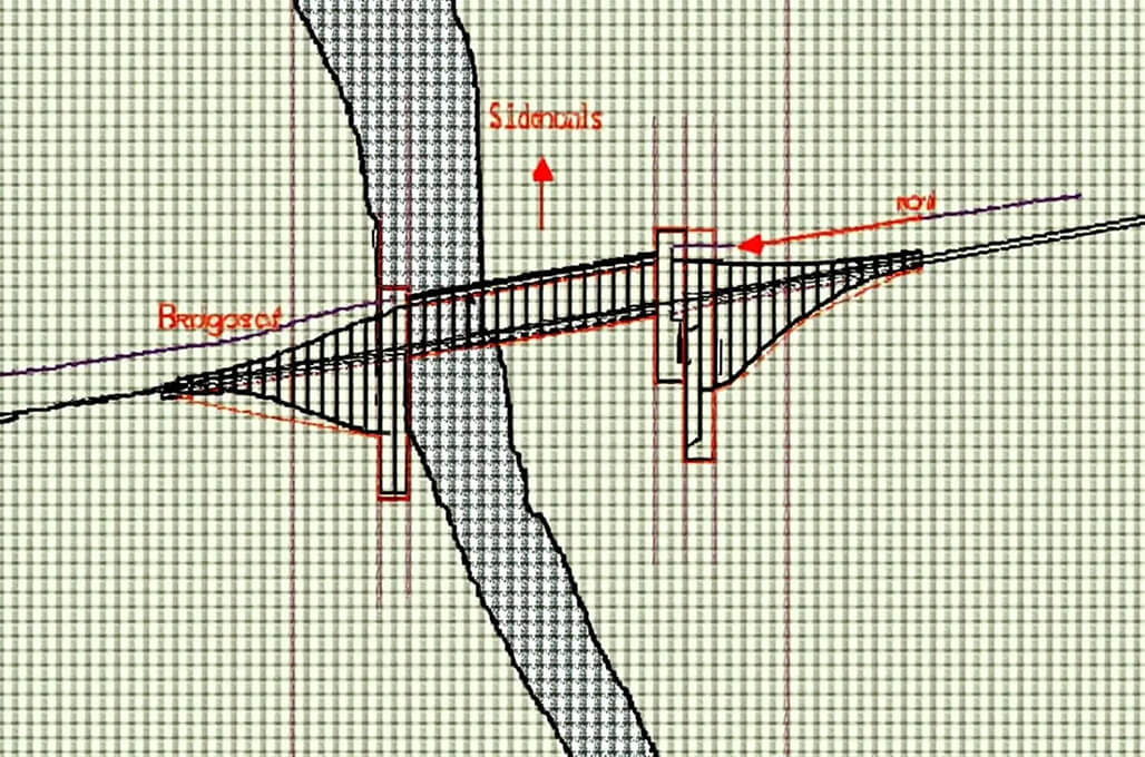
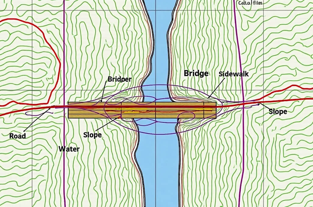
Sample Drawings
Take a closer look at our sample drawings to see how we transform complex project requirements into clear, precise outputs.
Your Guide
FAQ
LiDAR (Light Detection and Ranging) is a remote sensing instrument that uses laser pulses in order to create a precise distance measurement to create forensically detailed 3D models. This system is operated by emitting the beams of laser where the reflection times are recorded to achieve precise spatial data.
LiDAR engineering has various purposes in topographic mapping, infrastructure design, flood control, forestry mapping, power line issues, and autonomous vehicle guidance.
Software companies outsourcing their LiDAR engineering must have access to advanced technology as well as to professional and quality data processing capacity and high-quality outputs with less cost, even when the companies do not have the capacity and systems.
LiDAR engineering is useful in industries like construction, transportation, utilities, environmental management, agriculture, and urban planning to map and analyze these industries thoroughly and make decisions.