Seamless Modeling
Precision-Driven Ortho Processing for Reliable Spatial Intelligence
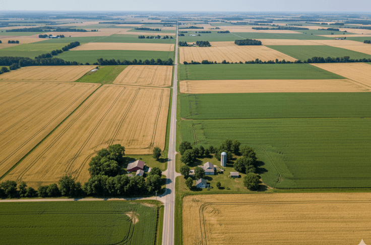
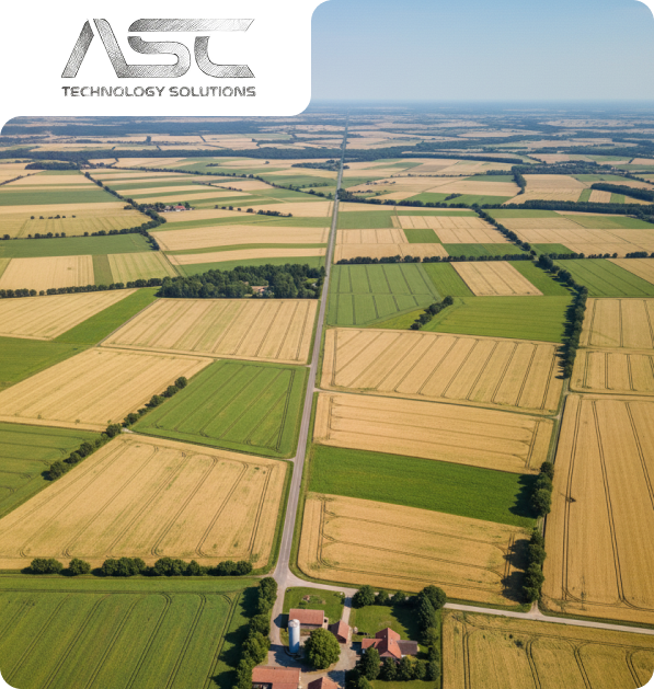
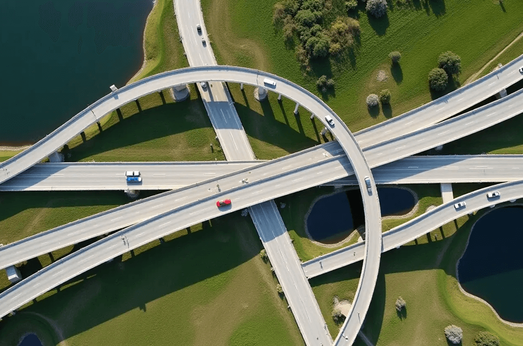
ASC Technology Solutions is the provider of the modern ortho processes, which turn the aerial and satellite images into an extremely precise and georeferenced image, free of distortions, orthophotos.

Our solutions facilitate the GIS integration, civil planning, and structure construction projects that require reliable spatial accuracy. Through rectifying terrain, sensor, and perspective distortion, we are left with an image of the actual on-ground conditions. Such orthophotos make it possible to make accurate distance measurements and mapping of features. Our specialization serves in agricultural, environmental, and infrastructure planning applications. All the outputs are created to be used on the current GIS platforms without problems. We assist companies in making data-driven decisions that are confident with excellent, accurate orthoimagery.
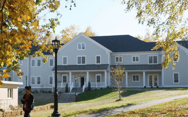
Our Valued BIM Clients
Trusted by industry leaders across projects and geographies
1000+
Client served around the globe
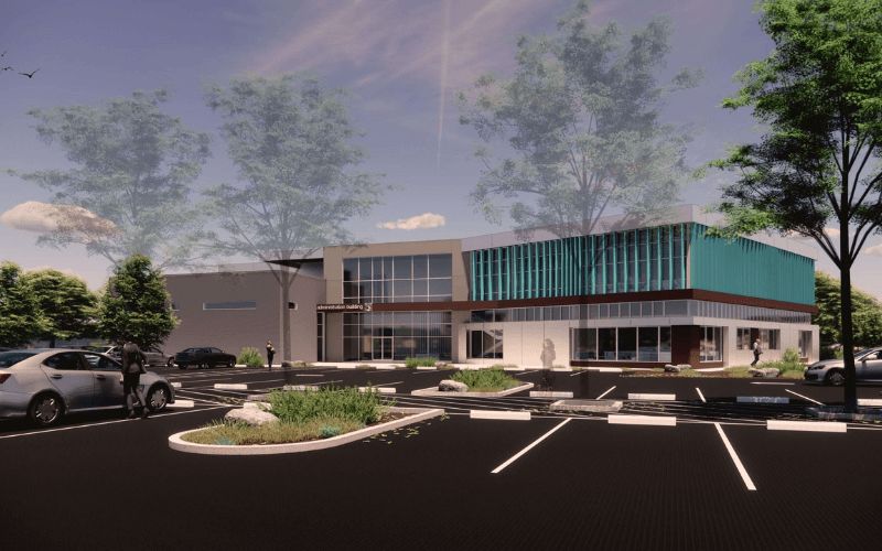
Impactful design
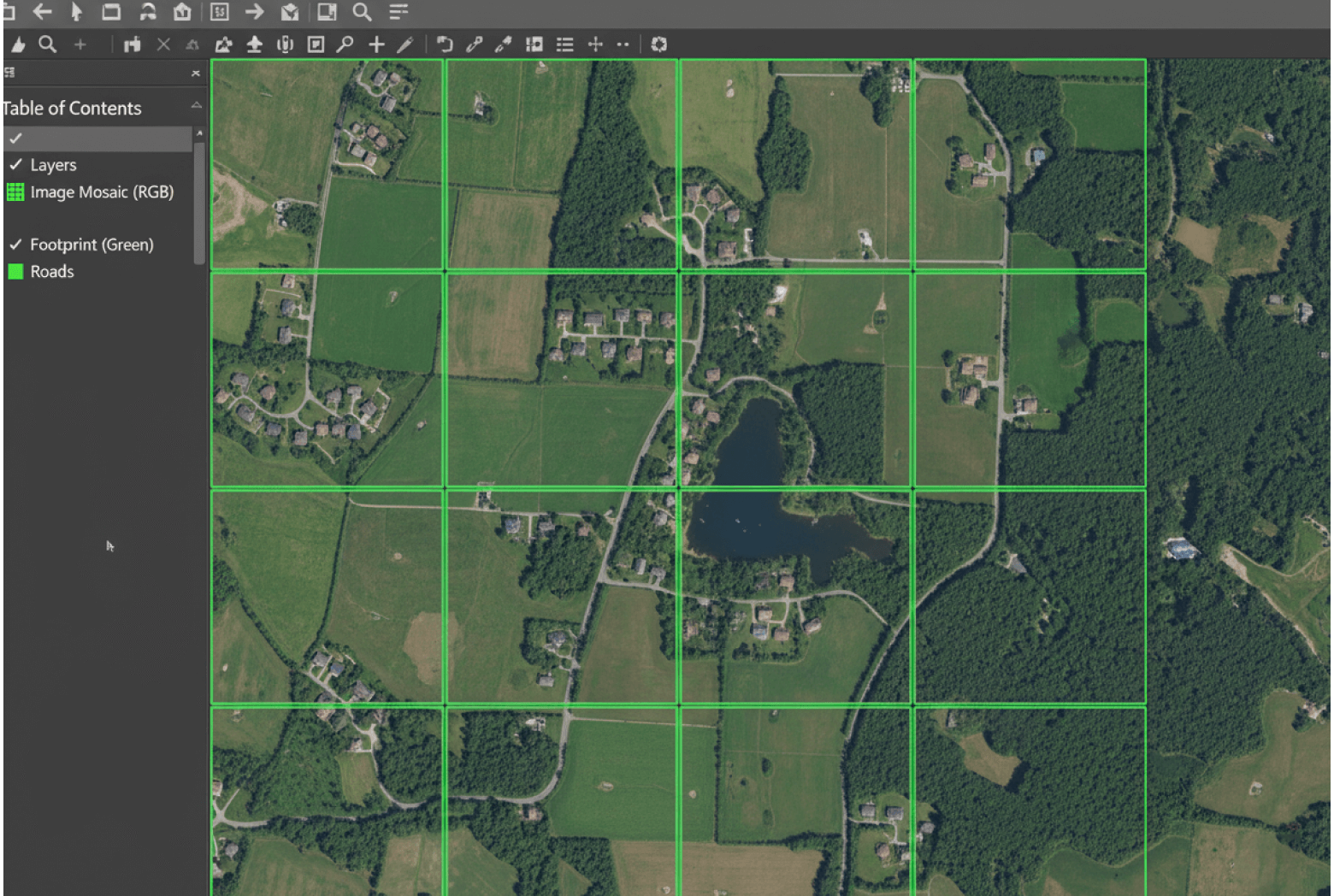
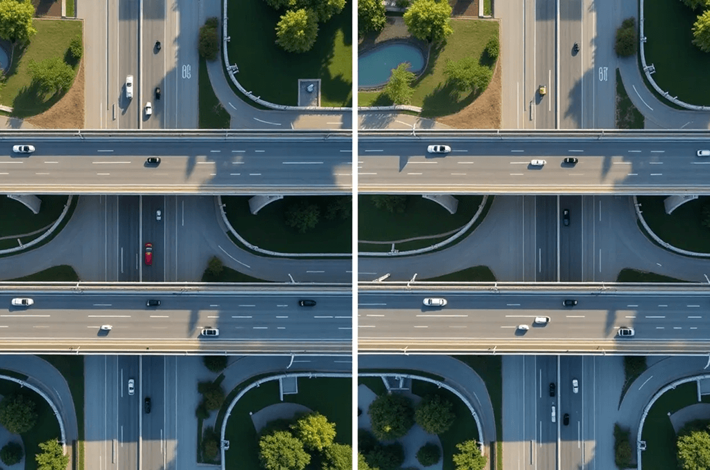
High-Resolution Orthophoto Production with Advanced Algorithms
ASC Technology Solutions uses the best image processing algorithms based on the PIX4D system to create high-resolution digital orthophotos that do not lose image quality and detail. Our algorithms provide a stable color balance, contrast, and image uniformity over large datasets. We can combine various images smoothly to form coherent orthophotomosaics that can be analyzed on large levels. This method facilitates elaborate research, mapping, and planning needs. Our team is composed of technical skills and efficient processing. The outcome will be speedy delivery in place of accuracy. Collaborate with us to obtain accurate, trusted, and project-ready orthophoto products and services.
Transformative Solutions
Our Extensive Ortho Processing Services
Turning complex ideas into practical, high-quality outcomes while empowering clients to achieve success with confidence and clarity.
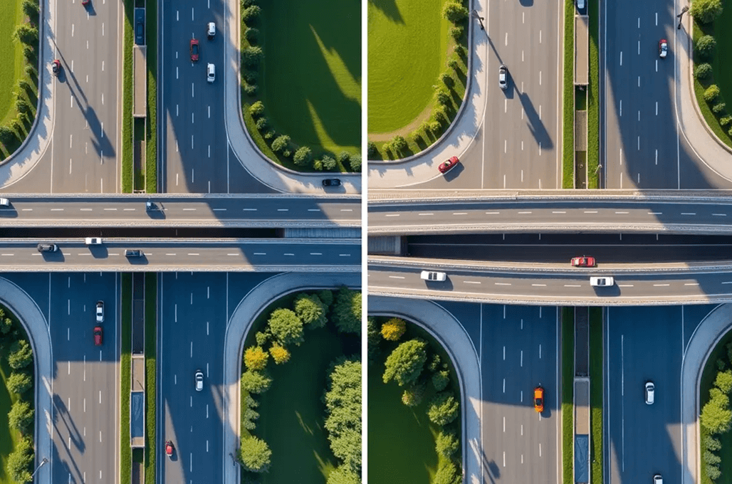
Colour balancing and image mosaicking
By using colour balancing and image mosaic services, we provide perfect united photomosaic images by merging a number of images. We implement sophisticated image processing strategies to improve the level of brightness, contrast, and colouring to remove differences between pictures. The processing technology that we use ensures that the orthophotos are of high radiometric quality that can be used in GIS applications, along with the geospatial analysis requirements.
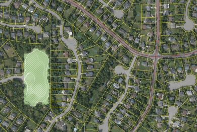
Object-based image classification
Object-based images are applied in classification methods to make an accurate analysis of land cover and features in aerial and satellite images. We maximize feature extraction accuracy by dividing images into significant objects through shape, texture, and spectral characteristics. This procedure is frequently employed to carry out many different types of tasks such as vegetation mapping, urban planning, and environmental surveillance activities.

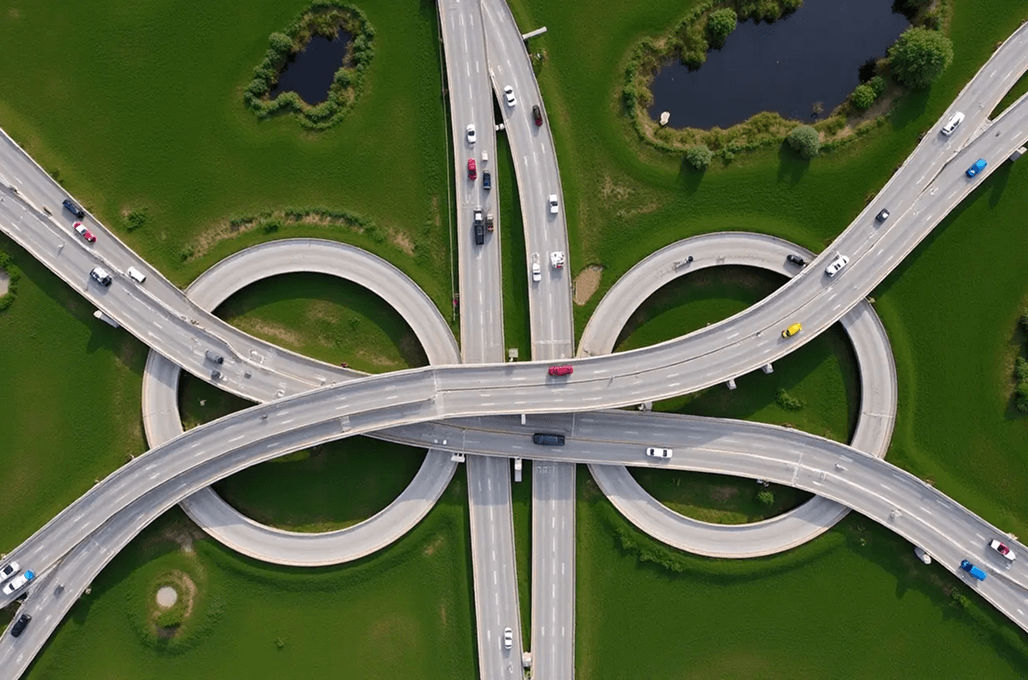
Seamline editing
The seamline editing contributes immensely to the high-quality of ortho mosaic production to ensure continuity of transitional space between the images. Our advanced experts adjust seamlines to eliminate other visual artifacts, positioning anomalies, and image anomalies that are formed during terrain deviations or sensor malfunctions. Through this very procedure, we get mosaics that are not distorted and provide accurate data on space.
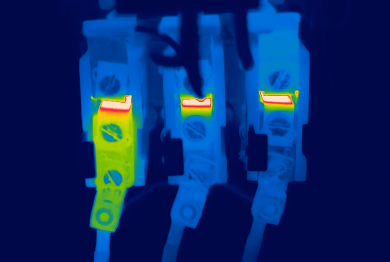
Thermal Imagery Services
The thermal imaging services make use of infrared detection that identifies thermal differences on different surfaces. The work done by thermal imaging is vital in terms of its infrastructure, environmental monitoring, and disaster reconnaissance. Our thermal imaging data is of high resolution, which assists in determining heat loss, vegetative stress, and other phenomena of interest in temperature with precision.
How We Work
Our BIM Workflow
We have combined technical skills with real project knowledge to provide quality BIM-based solutions. From early concept to detailed execution, we strive to make the right decisions, collaborate, and create long-term value that helps make decisions smarter and project-based results successful.
01
Concept & Consultation
The first step we take towards your project is to know about your objectives and the technical challenges of the project. Our professionals work hand-in-hand with the stakeholders to establish the scope, expectations, and a solid ground for efficient and quality delivery of the BIM.
02
Design & Planning
Our team is able to produce coordinated BIM models that are clear and precise, reflecting design intent. We also plan and validate to ensure there is an optimized workflow, fewer conflicts, and improved coordination of all project disciplines.
03
Development & Execution
We have approved designs that we convert to fine BIM models, ready to construct. Our execution phase stresses compliance and accuracy which the effective coordination is achieved, and the rework is reduced, enabling projects to proceed smoothly.
04
Final Delivery & Handover
We provide complete validated BIM models and documents depending on the project requirements. We have a well-organized handover approach that guarantees a seamless transition operation, and proper data accessibility with long-term functionality to the construction, operation, and facility management teams.


- 2k+
Align with Businesses that Choose Quality
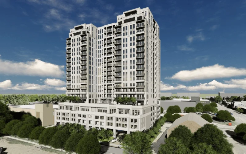
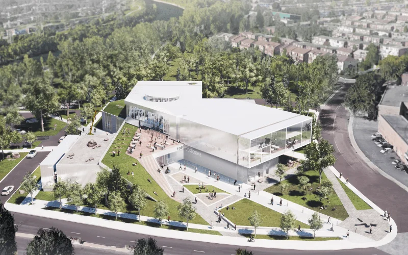
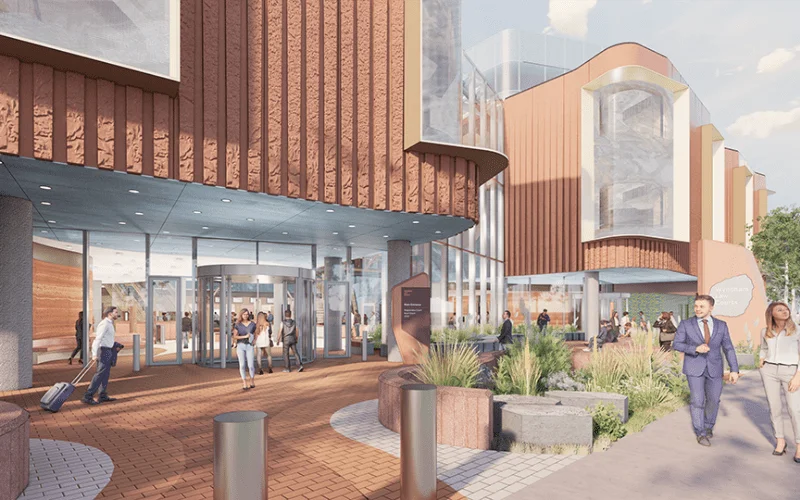
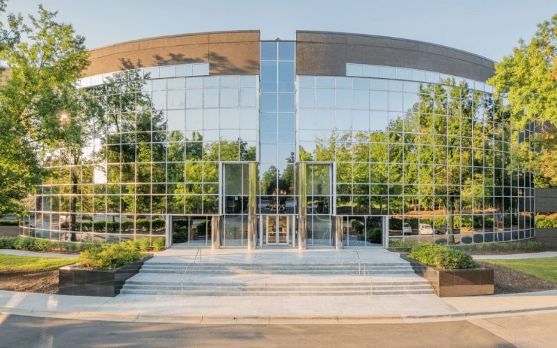
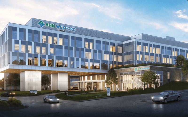
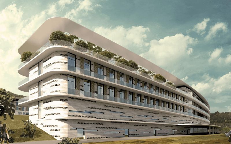
Recent Projects
2,500+ BIM Modeling Services Projects Across the USA


Unlock advantages
Benefit Yourself By Working With Us
- Produces very precise, free-of-distortion orthoimages with the best orthorectification and mosaicking, which provides reliable geospatial information on mapping and analysis at ASC Technology Solutions.
- Aids in the accurate measurements, as well as spatially accurate insights to support both planning and monitoring applications.
- It saves on the cost of running the operations through the use of unnecessarily expensive software, hardware, and in-house processing infrastructure.
- By outsourcing to ASC Technology Solutions, teams are able to get high-quality results without major investments.
- Rapidly develops project schedules through effective working flows and highly skilled individuals through state-of-the-art processing systems.
- There is a background response with the speed of decision-making over projects that need photogrammetry.
- Permits businesses to continue with their core operations as we handle multiplexing ortho-processing.
- This facilitates increased productivity, but does not reduce accuracy or data consistency.
- Offers larger and tailored solutions based on the size of the project and technical demands.
- Flexible outsourcing makes sure that there is optimum utilization of resources and control of costs.
- Improves city planning, management, and monitoring of the environment.
- Quality orthoimagery provided by ASC Technology Solutions facilitates certain, evidence-based results.
Client Success Stories
What Clients Say About Our Ortho Processing Work
Voices that reflect our care for image accuracy, clear workflows, and reliable turnaround.


Thank you guys for completing the project on time. We are happy the way specs were understood and implemented by ASC team. Look forward to work with you guys again.

The turnaround time was short and we used ASC team as extended BIM team for coordination and shop drawings. We liked the communication and quality deliverables.

ASC was quick and responsive despite working in different time zone. We had few challenges due to limited space but the complexity was well managed by ASC team. The quality of the spool and fabrication drawings were exactly what we were expecting.

Model insights
Sample Drawings
Take a closer look at our sample drawings to see how we transform complex project requirements into clear, precise outputs.


Your Guide
FAQ
Ortho processing establishes the correct geometric transformation of aerial or satellite imagery to produce orthoimages that maintain consistent scales and correct geospatial alignment. The image becomes suitable for measurements and mapping functions by this method.
Orthophotos function as geometrically corrected aerial images that remove all spatial misalignments stemming from terrain relief, together with lens optics and camera orientation issues. Orthophotos provide uniform scaling capabilities that enable users to make accurate measurements and perform GIS tasks and feature extraction.
Georeferenced images that derive from aerial and satellite photographs get their distortions removed through ortho-mapping. The combination of digital elevation models (DEMs) with ground control points enables ortho mapping to produce images that maintain map accuracy suitable for GIS applications, land surveying, and urban planning uses.
The orthoimage accuracy depends directly on the resolution of the starting imagery and ground control points, and digital elevation model precision. High-resolution orthophotos maintain sub-meter accuracy, which makes them appropriate for applications that need accurate spatial data.
Various types of imagery can be used for ortho processing, including RGB (Red, Green, Blue) aerial imagery, multispectral and hyperspectral images, LiDAR data, and thermal imagery. These different types of imagery serve applications such as urban planning, agriculture, and environmental monitoring.
The ortho processing services offer high-resolution orthophotos alongside seamless orthomosaics, elevation models, and georeferenced raster datasets to clients. Additional outputs from the service encompass colour-adjusted images, adjusted seamlines, and GIS-compatible file formats useful for analysis and map integration.
The ortho-processing method needs raw aerial or satellite images together with ground control points, digital elevation models, and camera calibration parameters. The provided inputs enable distortion correction and spatial referencing accuracy for the creation of final orthoimages.