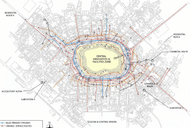
Seamless Modeling
Intelligent Utility Mapping for Resilient Infrastructure Networks
ASC Technology Solutions provides utility surveying and mapping solutions that enhance the proper identification, mapping, and management of infrastructure assets, which organizations regard as essential.
In power lines, pipelines, water networks, and telecom systems, we apply the state-of-the-art GIS and LiDAR technologies in order to record accurate spatial information. Our solutions facilitate proper solution of assets, maintenance planning, and risk assessment in detail. We assist in mitigating the project uncertainties and avoiding expensive conflicts by offering credible utility intelligence. The mapping processes that we have optimized the operations in addition to alignment with the regulatory rules. All the datasets will be beneficial to national infrastructure planning and sustainability on a long-term basis. We give providers of stakeholder empowerment on their utility data in terms of clarity, accuracy, and confidence.
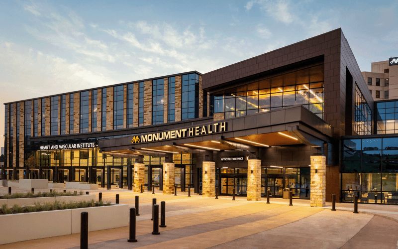
Our Valued BIM Clients
Trusted by industry leaders across projects and geographies
1000+
Client served around the globe
Impactful design
Reliable Subsurface Insights for Safer Project Execution
Having a solid understanding of Subsurface Utility Engineering (SUE), ASC Technology Solutions leverages cutting-edge georeferencing, geophysical procedures, and non-destructive testing protocols to map the underground as well as the surface utilities with high precision. We combine the method of a survey, bathymetric data, and modern sensing devices in order to produce reliable utility information. Our services will provide comprehensive 2D and 3D BIM/CIM models, which allow smart planning and early conflict identification. This proactive measure will eliminate risks in advance of the commencement of the construction. The clients are allowed to access cost-effective and high-quality utility mapping solutions through our outsourcing model. Safety, efficiency, and constructability are some of the areas that we focus on in all the projects. We aim to simplify the creation of infrastructure, make it less risky and uncertain.
Transformative Solutions
Our Extensive Utility Survey and Mapping Services
Turning complex ideas into practical, high-quality outcomes while empowering clients to achieve success with confidence and clarity.
Construction
The utility survey and mapping are the processes that offer the required safety during excavation and trenching in construction sites. Knowledge of the location of the infrastructure by surveying helps to avoid accidents that destroy underground lines and cables. The process lowers the Delays in the site and reduces the maintenance cost, besides providing a safer construction environment.
Urban Planning
The utility mapping gives precise outcomes that are utilized by the city planners to carry out good maintenance and development works on the infrastructure. The knowledge of underground networks is also very beneficial to planners of underground networks because they can avoid interference with services provided by the network, yet also avoid conflict between the new network infrastructure and the existing network components. It is essential that utility mapping is appropriate to ensure that the long-term reliability and development of the city are dependable.
Emergency Response
Utility mapping solutions can assist the teams in implementing their emergency responses effectively in case they address such issues such as gas leakages, water main breaks, and breakdowns caused by electrical issues. The information assists the first responders in locating hazards in the quickest time feasible and in support of the safety of the people. Utility mapping helps to improve disaster preparedness since these maps minimize delays in operations and vulnerability of services to further destruction.

Environmental Assessments
The environmental assessment in the process of utility mapping can be used to measure the impact of utilities on the natural ecosystems. The evaluation of the groundwater flow and the vegetation, combined with the analysis of the soil conditions, will give an assessment that would allow compliance with the environmental regulations. The process of assessment minimizes the risk of environmental risks like the destruction of contaminated habitats and soil erosion.
How We Work
Our BIM Workflow
We have combined technical skills with real project knowledge to provide quality BIM-based solutions. From early concept to detailed execution, we strive to make the right decisions, collaborate, and create long-term value that helps make decisions smarter and project-based results successful.
01
Concept & Consultation
The first step we take towards your project is to know about your objectives and the technical challenges of the project. Our professionals work hand-in-hand with the stakeholders to establish the scope, expectations, and a solid ground for efficient and quality delivery of the BIM.
02
Design & Planning
Our team is able to produce coordinated BIM models that are clear and precise, reflecting design intent. We also plan and validate to ensure there is an optimized workflow, fewer conflicts, and improved coordination of all project disciplines.
03
Development & Execution
We have approved designs that we convert to fine BIM models, ready to construct. Our execution phase stresses compliance and accuracy which the effective coordination is achieved, and the rework is reduced, enabling projects to proceed smoothly.
04
Final Delivery & Handover
We provide complete validated BIM models and documents depending on the project requirements. We have a well-organized handover approach that guarantees a seamless transition operation, and proper data accessibility with long-term functionality to the construction, operation, and facility management teams.


- 2k+
Align with Businesses that Choose Quality
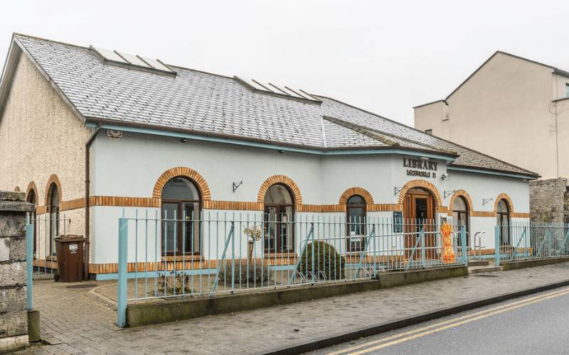
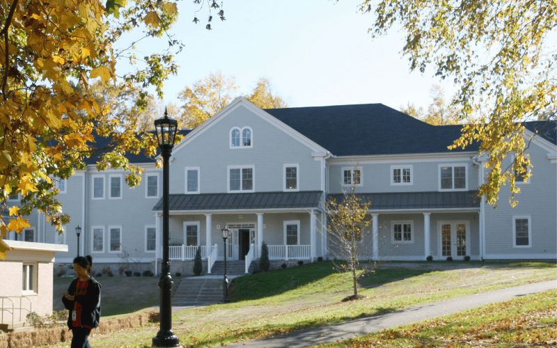
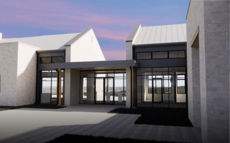
Recent Projects
2,500+ BIM Modeling Services Projects Across the USA


Unlock advantages
Benefit Yourself By Working With Us
- Accomplishes accessibility to superior utility survey and mapping technologies, including expert analysis, without the expense of maintaining in-house resources at ASC Technology Solutions.
- Secures proper identification of underground and surface utilities to minimize construction risks.
- Enhances security at the construction sites by identifying buried properties at an early stage to reduce the risks during excavation and the occurrence of unexpected utility clashes.
- Helps to mitigate riskier and unmanaged project implementation.
- Improves infrastructure planning and asset management with high-quality and accurate mapping data used to make critical decisions and long-term network performance.
- Provides precise utility data that can be used to facilitate the streamlining of maintenance processes, resource optimization, and adherence to industry and regulations.
- Lowers costs of operations as it does not require any purchase of special equipment, software investment, or much training of the workforce.
- Provides rapid processing of data and a high operation rate of detection, therefore, timely decision-making in the project, reduced rework costs, and a better delivery of the project.
Client Success Stories
What Clients Say About Our Utility Survey Work
Real feedback from teams who rely on our field accuracy, clean mapping, and steady communication.


Thank you guys for completing the project on time. We are happy the way specs were understood and implemented by ASC team. Look forward to work with you guys again.

The turnaround time was short and we used ASC team as extended BIM team for coordination and shop drawings. We liked the communication and quality deliverables.

ASC was quick and responsive despite working in different time zone. We had few challenges due to limited space but the complexity was well managed by ASC team. The quality of the spool and fabrication drawings were exactly what we were expecting.

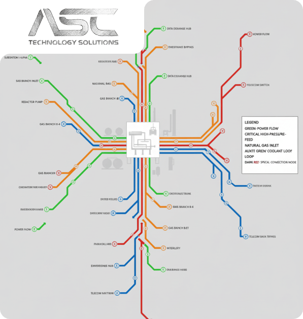
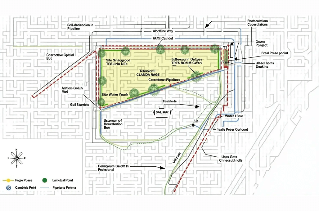
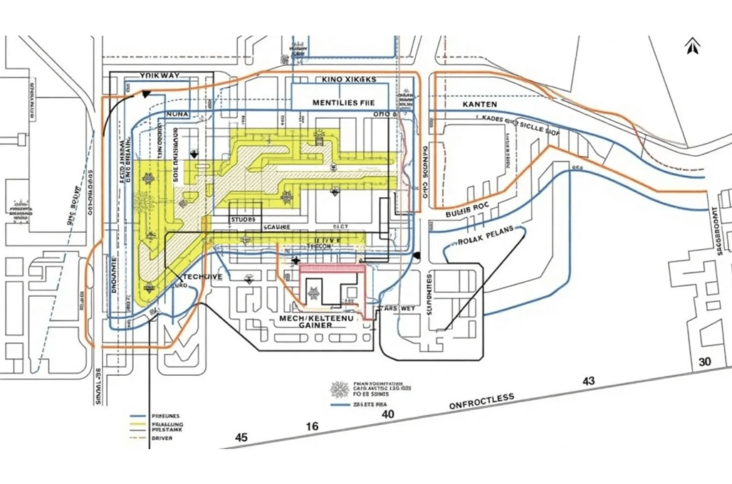
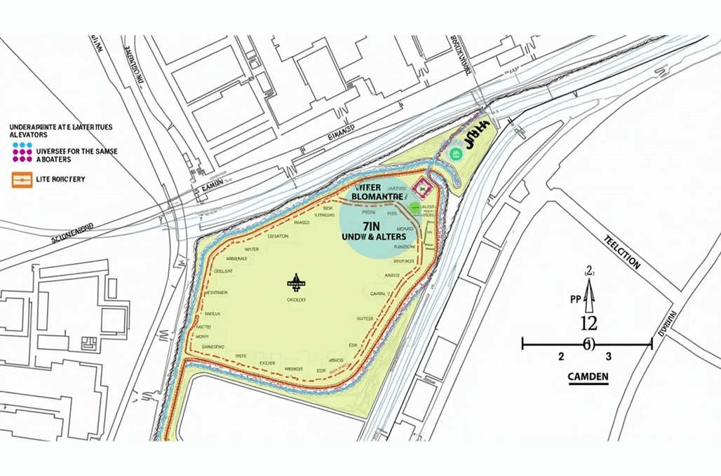
Model insights
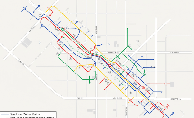
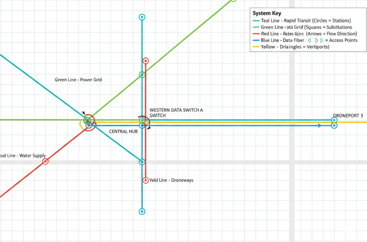
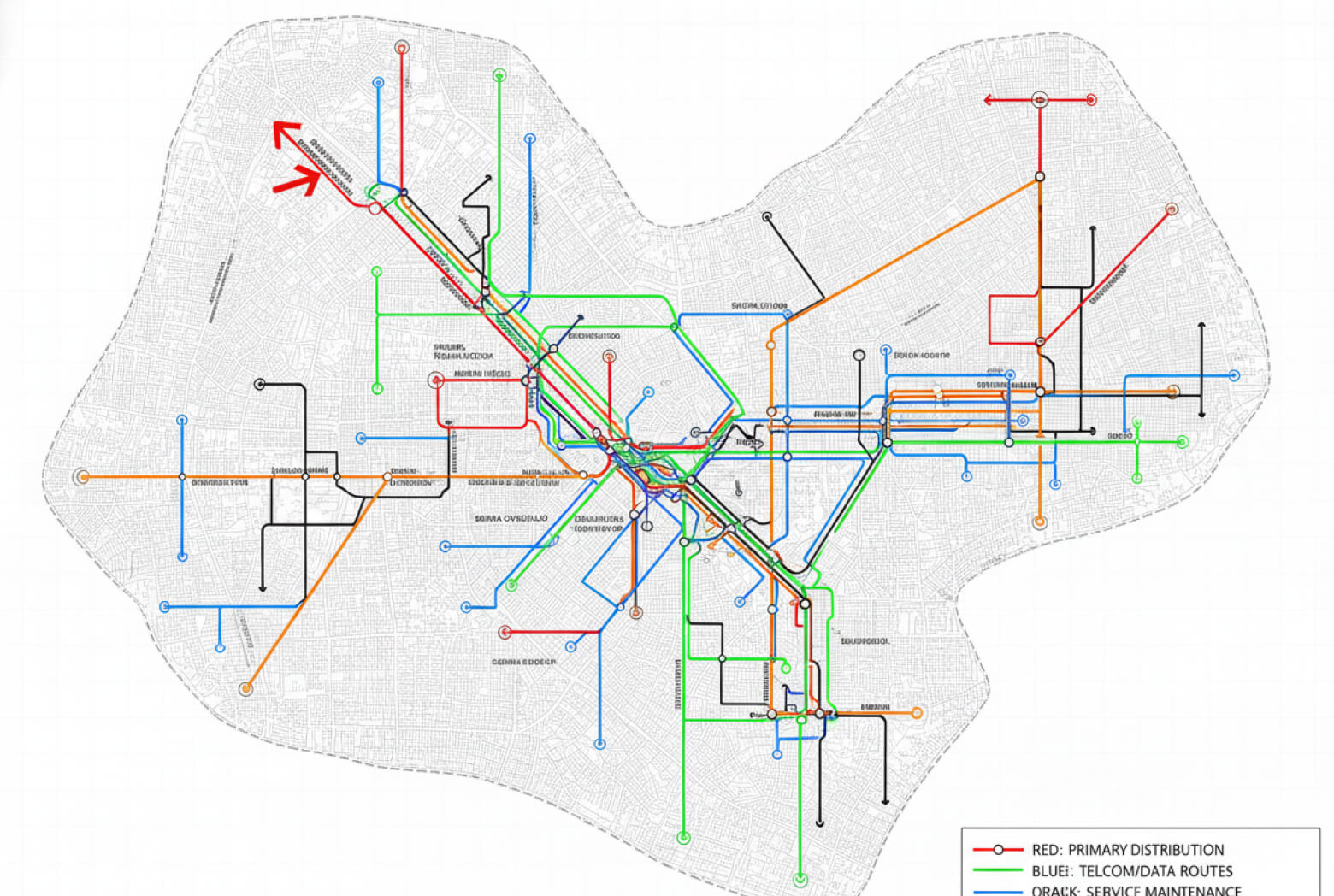
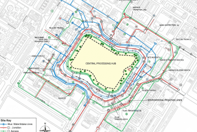
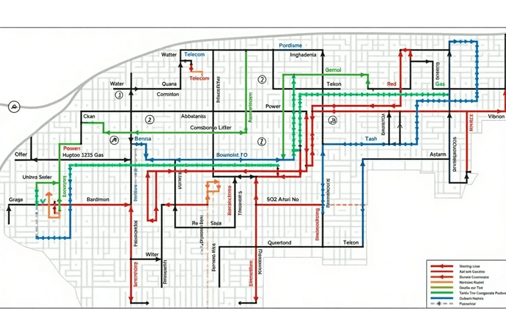
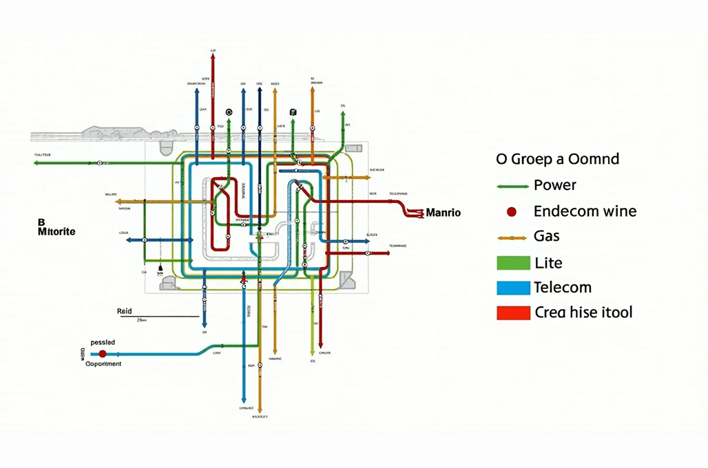
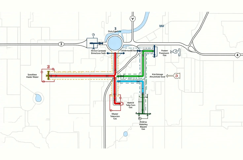
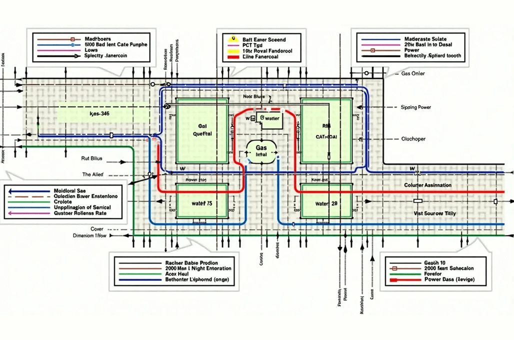
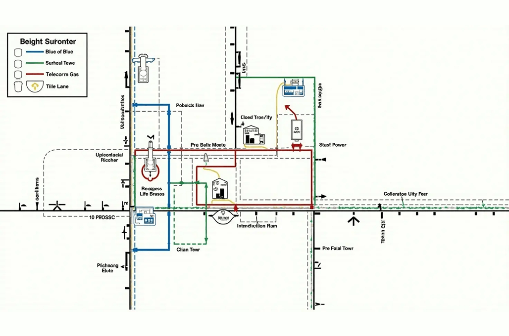
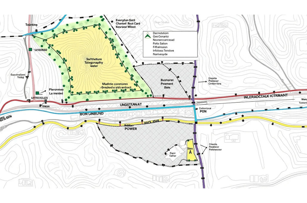
Sample Drawings
Take a closer look at our sample drawings to see how we transform complex project requirements into clear, precise outputs.
Your Guide
FAQ
Utility surveys entail identifying and creating maps of existing underground pipes, overhead cables, lines for water methods, gas systems, electrical systems, and both underground and overhead telecommunications systems. Construction and infrastructure projects achieve safety with this process by stopping unintended utility damage.
The utility mapping process uses a combination of methods, including Ground-Penetrating Radar (GPR), Electromagnetic Induction, GPS, LiDAR, and Radio Frequency (RF) detection. The tools combine to locate and draw underground facilities at a precise level.
Modern mapping systems generate exact geospatial data, which substantially decreases uncertainty during the mapping process. The combination of advanced sensors with AI-powered data processing and digital twin technology enables better visualisation and improved decision-making capabilities.
The GIS-based method of utility mapping describes the utilisation of Geographic Information Systems to store, analyse, and collect spatial data about utility systems. Through accurate visualisation of utility networks, GIS helps organisations improve their asset management processes, their maintenance planning capabilities, and decision-making effectiveness.
Technical advances in GIS, LiDAR, and remote sensing technologies have delivered real-time high-resolution data, which has led to major strides in utility mapping accuracy. The mentioned technologies increase accuracy levels in addition to improving user safety and facilitating quicker infrastructure design.
A utility survey enables the production of detailed utility maps through processes that include site assessment, data collection using detection tools, georeferencing utility location identification, and data analytical work. Reporting and GIS integration finish the process by making data accessible for future planning through GIS systems.
Proper utility mapping helps prevent underground utility accidents, which avoids project delays and minimizes both repair costs and safety risks. The process enables construction teams to adhere to regulations while providing improved planning capabilities for excavation works and trenching operations.