Seamless Modeling
Shaping the Future with Accurate and Reliable Geospatial Data
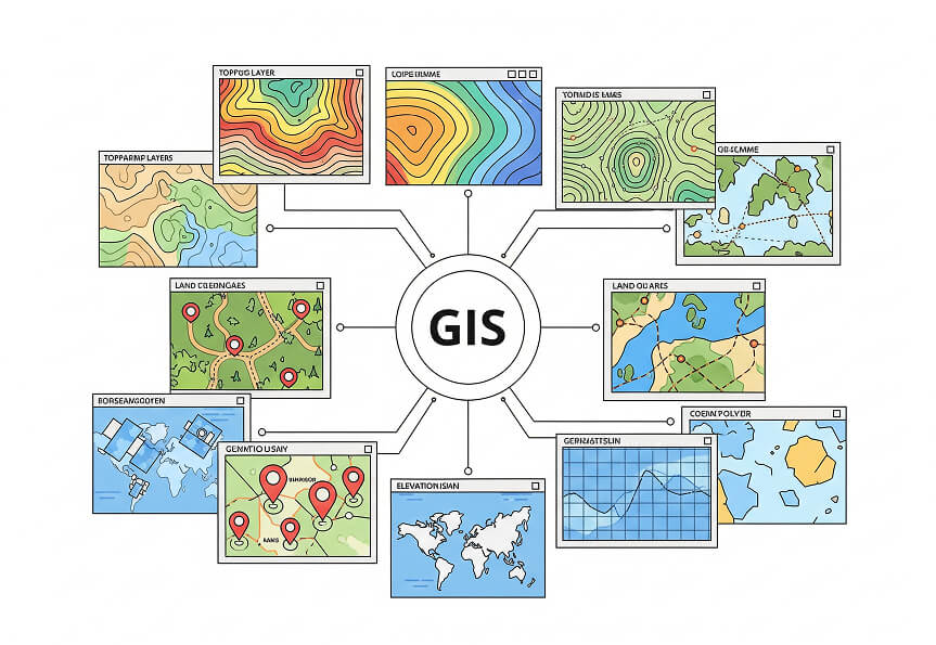
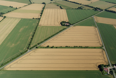
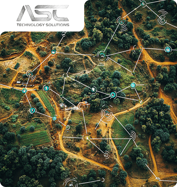
The GIS and remote sensing services at ASC Technology Solutions utilise superior accuracy through the implementation of cutting-edge hardware and software to analyse and process spatial vector and raster data. Geographic Information Systems (GIS) data management transforms complex spatial issues while maximising workflow optimisation and fast-tracking decision-making. Our team specialises in precise digital data conversion, enabling seamless integration of legacy and hard-copy GIS data into contemporary applications.
We provide industry-specific geospatial solutions, including remote sensing analytics and spatial data visualisation, serving urban planning, infrastructure management, environmental monitoring, and e-Governance sectors. Prioritising quality output, we equip businesses and government agencies with exact geospatial information for strategic planning and operational success. ASC Technology Solutions enables businesses through outsourcing services to obtain affordable geospatial processing, fast deliveries, and dependable solutions for precise real-time spatial information.
12 +
Years of Experience
Proven expertise built through decades of excellence
1000 +
Customers Served
Serving clients with trust, consistency, and brilliance
05 +
Global Location
Delivering quality across continents worldwide
2500 +
Completed Projects
Proven success across diverse and complex projects
Delivering High-Precision GIS and Remote Sensing Solutions for Smarter Decision-Making
ASC’s Advanced Geospatial Services:
Optimising Planning & Infrastructure
Comprehensive GIS and Remote Sensing services for Contractors
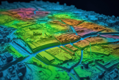
ASC Technology Solutions specialises in delivering state-of-the-art LiDAR engineering services that generate exact geospatial and remote sensing solutions. The principles of LiDAR (Light Detection and Ranging) technology measure precise distances in 3D through laser beam emissions that determine distance measurements from pulse reflection times. The laser scanning technique generates a 3D Point Cloud representation of the environment with exceptional levels of accuracy.
ASC Technology Solutions provides cutting-edge Mobile LiDAR mapping solutions that combine advanced LiDAR sensors with cameras and positioning systems to obtain highly precise point cloud data via mobile vehicles. The innovative data collection system creates fast survey-grade information-gathering abilities that benefit three primary applications including road mapping, infrastructure inspection and topographic analysis.
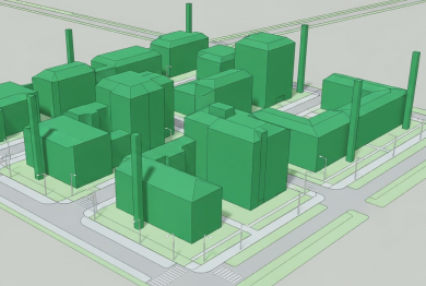
The photogrammetry services at ASC Technology Solutions convert aerial and satellite imagery into exact 3D models with built-in geospatial data. We produce detailed orthophotos and three types of models through our advanced digital image processing methods. The outputs from our work find extensive applications during land surveying activities and serve as fundamental tools for construction planning tasks environmental analysis and agriculture monitoring.
ASC Technology Solutions company delivers technical ortho-processing solutions to develop precise and georeferenced distortion-free orthophotos based on aerial and satellite imaging data. The result of these exact spatial images is crucial to support geographic information systems, urban development planning and construction project needs. Our team enables perfect orthoimagery integration into GIS applications which enables precise urban development measurements while supporting agricultural and environmental analysis.
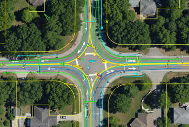
The utility survey and mapping solutions provided by ASC Technology Solutions enable organisations to map and efficiently handle essential infrastructure components like power lines along with pipelines water networks and telecommunication assets. Using advanced GIS and LiDAR technologies we provide accurate spatial data which supports the management of assets and maintenance planning and risk assessment procedures. Operational efficiency increases through our solutions while regulatory standards remain in compliance.
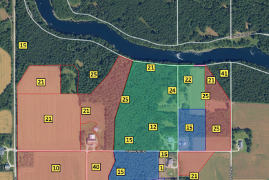
We at ASC Technology Solutions strive to deliver full-scale GIS mapping alongside consulting services that support businesses and government entities make decisions using geographic data. Our organisation specialises in spatial data examination along with GIS database organisation and specialised mapping solutions that serve different business sectors including transportation, agriculture and urban planning needs. We deliver customised GIS systems that increase operational performance while building data-based plans and boosting geospatial intelligence capabilities.
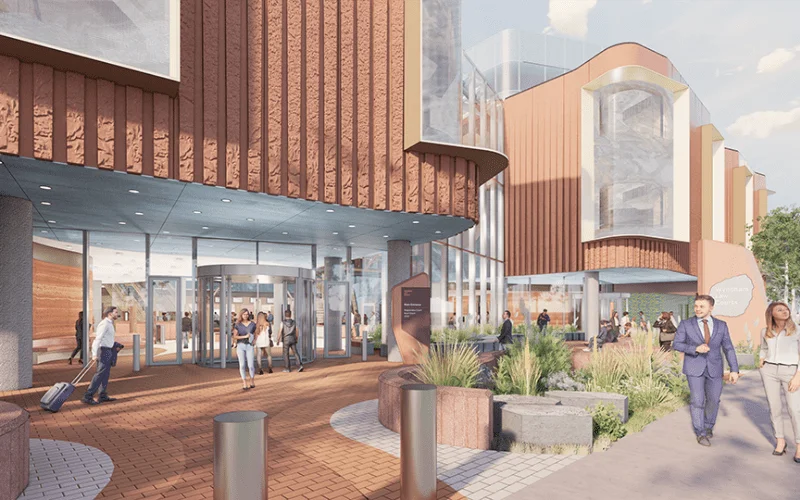
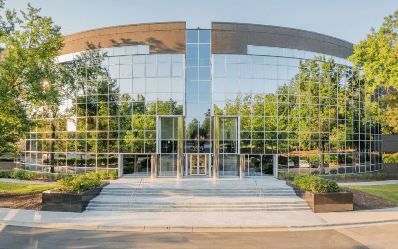
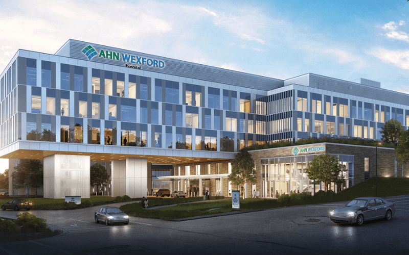
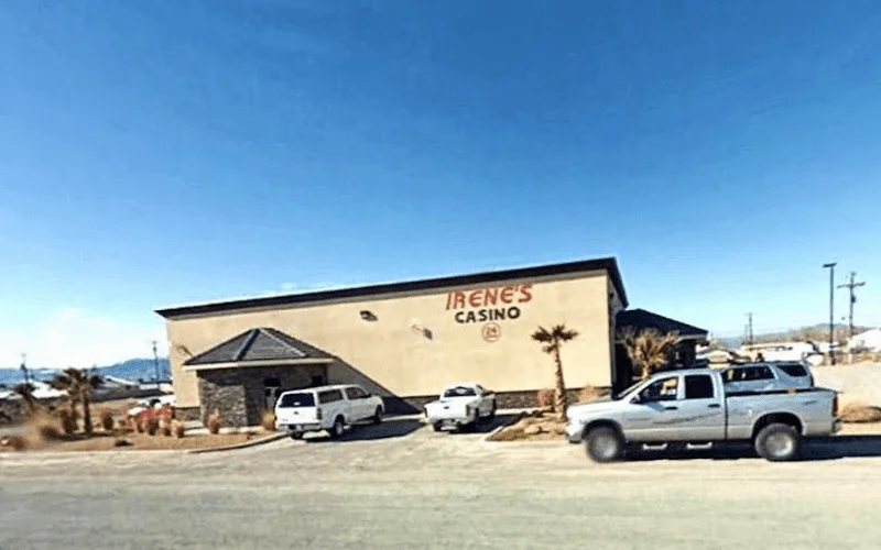
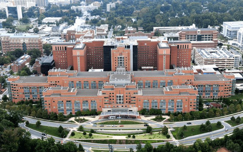
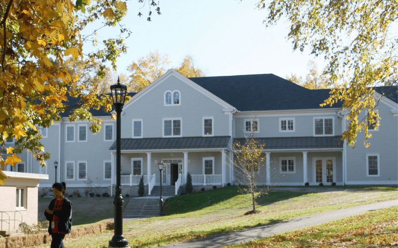
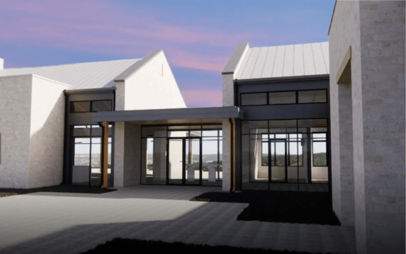
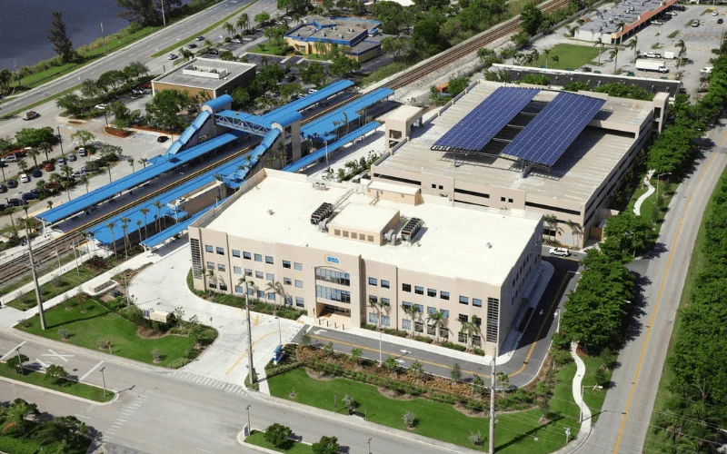
Recent Projects
2,500+ BIM Modeling Services Projects Across the USA


Unlock advantages
Benefits of Our GIS and remote sensing services
- GIS and remote sensing services from our company deliver precise geospatial information that supports correct decisions by organisations including urban planners infrastructure operators and environment watchers.
- Our use of LiDAR together with photogrammetry and ortho processing allows efficient data acquisition which lowers human survey processes and speeds up project durations.
- Interface capabilities between GIS platforms combine with businesses and government agencies where users obtain better planning insights through the visualisation analysis of complex spatial data.
- We provide outsourced solutions that eliminate the costs of hardware along with software solutions and eliminate the requirement of specialised internal expertise while delivering excellent data quality.
- Our company delivers flexible solutions for particular industries while maximising resource potential and improving operational flow to help organisations achieve their core business targets.
- Our data quality control systems verify accurate information because these methods strengthen applications used in asset management along with disaster response and land-use planning.
- Enduring geospatial technological development lets us deliver modern solutions that improve operational efficiency as well as minimise risks while delivering long-term project success.
Trusted partner
Why Choose ASC for Your GIS and Remote Sensing Needs?
Subject Matter Expertise
Our team is well versed in what they do. They are conversant with the local codal provision and understand industry specific standards.
Working In Your Timezone
Often we see our clients want to be connected to the team they are working with for better and quick communication. Hence we work on your timezone.
Competitive Pricing
We offer competitive pricing starting from $16 per hour depending on the project scale, resource type and scope of the projects.
Robust IT Infrastructure
Data secured FTP, licensed and the latest version of hardware and software toolset ensures error-free designing, modeling, and overall project execution process, diminishing technical glitches.
Training & Development
Arrangement of multiple training and development programs for our engineers to upgrade their software skills and update with the latest technology ensures a premium client experience.
Policy
Contract agreements before project kick-off and standard guidelines eliminate miscommunication and ensure a constructive approach toward business relationships.
How We Work
Our BIM Workflow
We have combined technical skills with real project knowledge to provide quality BIM-based solutions. From early concept to detailed execution, we strive to make the right decisions, collaborate, and create long-term value that helps make decisions smarter and project-based results successful.
01
Concept & Consultation
The first step we take towards your project is to know about your objectives and the technical challenges of the project. Our professionals work hand-in-hand with the stakeholders to establish the scope, expectations, and a solid ground for efficient and quality delivery of the BIM.
02
Design & Planning
Our team is able to produce coordinated BIM models that are clear and precise, reflecting design intent. We also plan and validate to ensure there is an optimized workflow, fewer conflicts, and improved coordination of all project disciplines.
03
Development & Execution
We have approved designs that we convert to fine BIM models, ready to construct. Our execution phase stresses compliance and accuracy which the effective coordination is achieved, and the rework is reduced, enabling projects to proceed smoothly.
04
Final Delivery & Handover
We provide complete validated BIM models and documents depending on the project requirements. We have a well-organized handover approach that guarantees a seamless transition operation, and proper data accessibility with long-term functionality to the construction, operation, and facility management teams.


- 2k+
Align with Businesses that Choose Quality
Our Valued BIM Clients
Trusted by industry leaders across projects and geographies
1000+
Client served around the globe
Client Success Stories
What Clients Say About Our BIM Services
Voices that reflect our approach to quality, communication, and dependable execution.


Thank you guys for completing the project on time. We are happy the way specs were understood and implemented by ASC team. Look forward to work with you guys again.

The turnaround time was short and we used ASC team as extended BIM team for coordination and shop drawings. We liked the communication and quality deliverables.

ASC was quick and responsive despite working in different time zone. We had few challenges due to limited space but the complexity was well managed by ASC team. The quality of the spool and fabrication drawings were exactly what we were expecting.

FAQ
Remote sensing functions as a geospatial technology that gathers Earth’s surface information through contactless methods.
Satellites, drones or aircraft-based sensors take images to study environmental transformations, land characteristics and atmospheric modifications.
Remote sensing technologies are those that use satellite imagery, aerial photography, LiDAR (Light Detection and Ranging), radar and thermal imaging to gather data about Earth’s surface. These technologies provide ongoing environmental monitoring alongside land-use insights while assisting with disaster management and resource mapping.
The four main geospatial technologies are remote sensing, Geographical Information Systems (GIS), Global Positioning System (GPS), and Cartography. Through these technologies, scientists obtain and examine spatial data for multiple purposes.
The three main types of remote sensing technologies are Passive Remote Sensing (captures natural radiation, like satellite imagery), Active Remote Sensing (emits energy and records reflections, like LiDAR and radar), and Hyperspectral Imaging (collects data across multiple spectral bands for detailed analysis).
Satellite imagery can be known as a typical remote sensing technology example, for instance, NASA’s Landsat satellites’ imaging operations.
Surface images of Earth acquired by these satellites enable agricultural monitoring and analysis of climate change together with disaster preparedness functions.
The process of collecting data on Earth’s surface dynamics through satellite-based sensors as well as aircraft-mounted sensors and drone-mounted sensors constitutes remote sensing. Remote sensing technology enables scientists to examine the Earth’s surface through different applications including environmental monitoring, disaster management, urban planning, agricultural assessment and climate change studies.