Seamless Modeling
Precision on the Move with Intelligent LiDAR Mapping
ASC Technology Solutions can provide high-precision LiDAR Mobile Mapping equipment to record precise geospatial data on new and upgraded LiDAR sensors, cameras, and positioning equipment installed on mobile platforms.
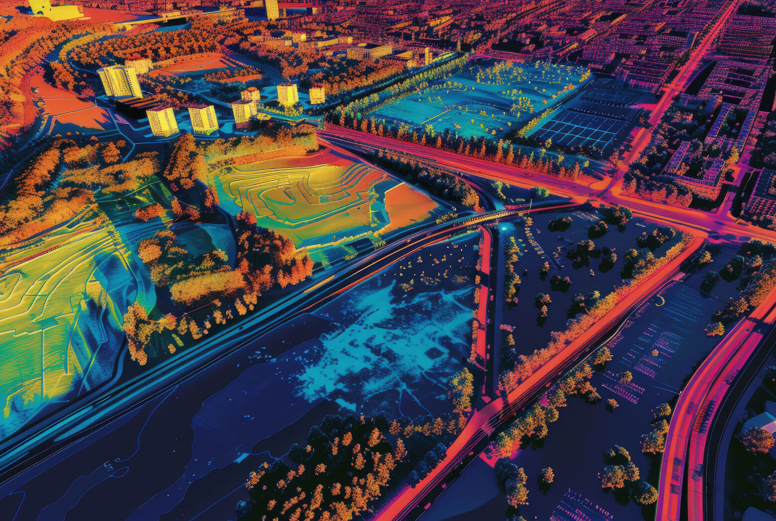
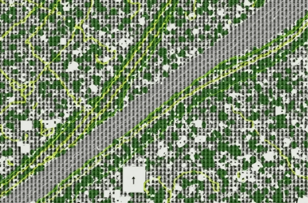
Such a mobile approach allows a speedy, survey-grade collection of data without interfering with the functioning of the company. We have used our solutions in applications like road mapping, checking the condition of corridors, checking the condition of their infrastructure, and the topography. With the creation of dense point clouds and 3D models (high-resolution models), we help to facilitate sound planning and design decisions. Mobile LiDAR enables coverage of wide areas with high accuracy in a short period of time. All the data sets are modeled to the industry requirements and project-owned needs. We assist clients in reliable spatial intelligence with efficiency.
Impactful design
Advanced Processing for Smarter Spatial Insights
We do not just offer data capture but also offer fully developed Mobile LiDAR data processing and classification at service. ASC Technology Solutions group cleanses crude LiDAR data, sends important features, and uses sophisticated classification algorithms based on project requirements. These processed data are brainstormed and blend well with GIS systems and planning processes. We have strict QC/QA policies so that we can be accurate, consistent, and perform excellently in our deliverables. We have cost-effective processing models that optimize the budgets without compromising the quality. We provide actionable geospatial information by emphasizing competence and reliability. The partnerships we develop are long-term and based on the success of a measurable project.

Transformative Solutions
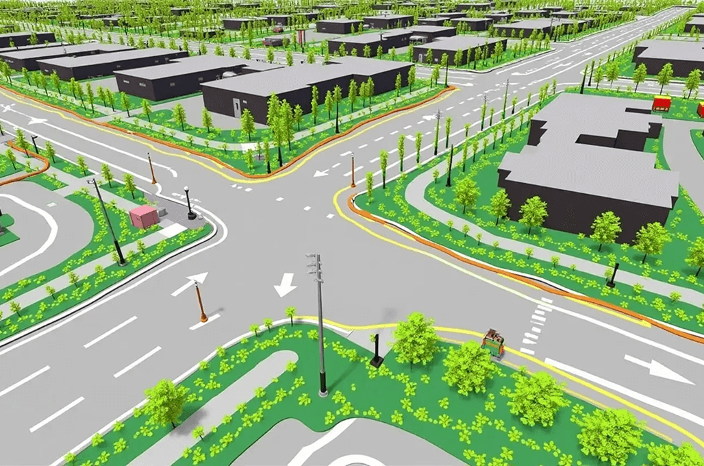
Our Extensive LiDAR Mobile Mapping Services
Turning complex ideas into practical, high-quality outcomes while empowering clients to achieve success with confidence and clarity.
Urban Planning and Development
Our company's Mobile LiDAR systems provide accurate three-dimensional data that is necessary for city planning activities, zoning processes, and land use evaluation. The precision of the 3D data collected is high, which makes the development of cities durable, as the data can help planners and developers decide how to expand their cities and develop smart cities.
Topographic Surveys
Our topography LiDAR sensors are high precision, enabling us to create complete topographical surveys through accurate topography and precise elevation models. The collected information is helpful in making credible site analyses and best project activities by enabling construction development, flood hazard, and environmental administration applications.
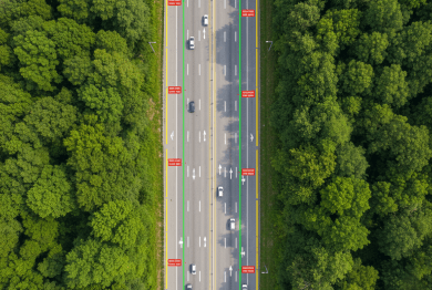
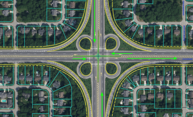
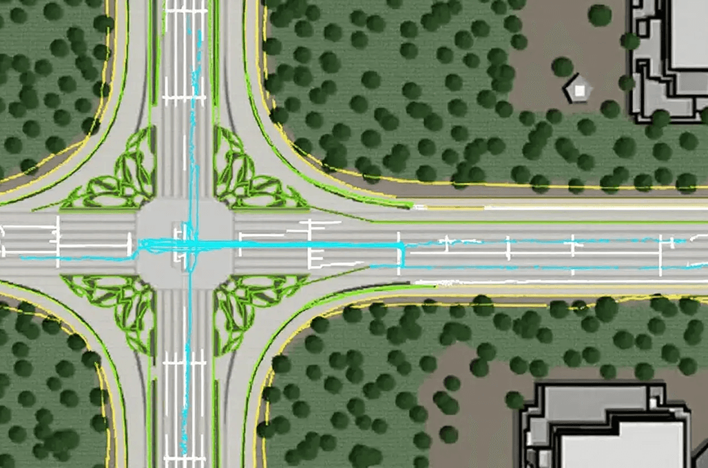
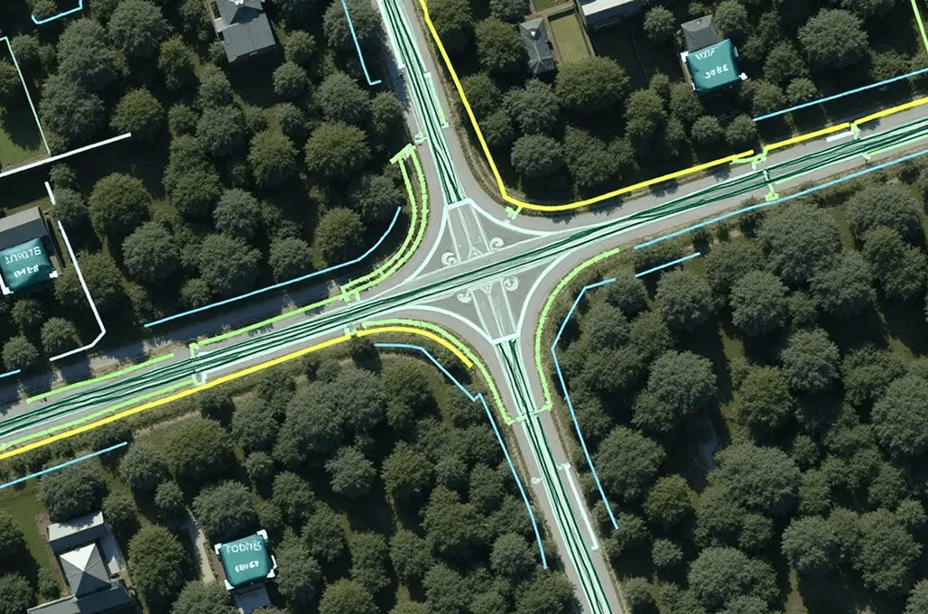
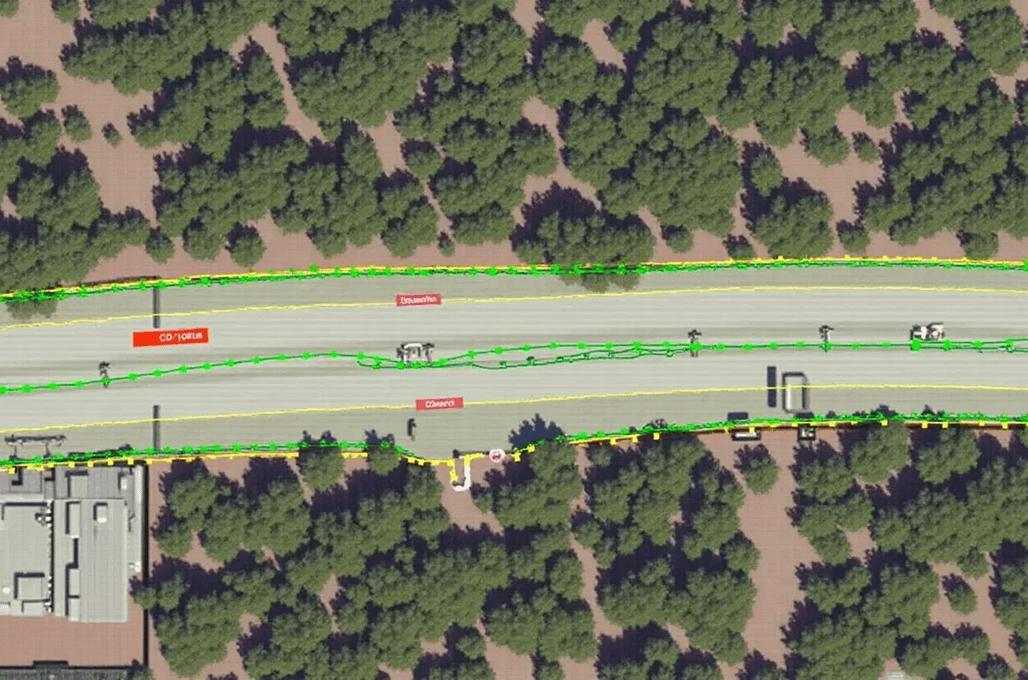
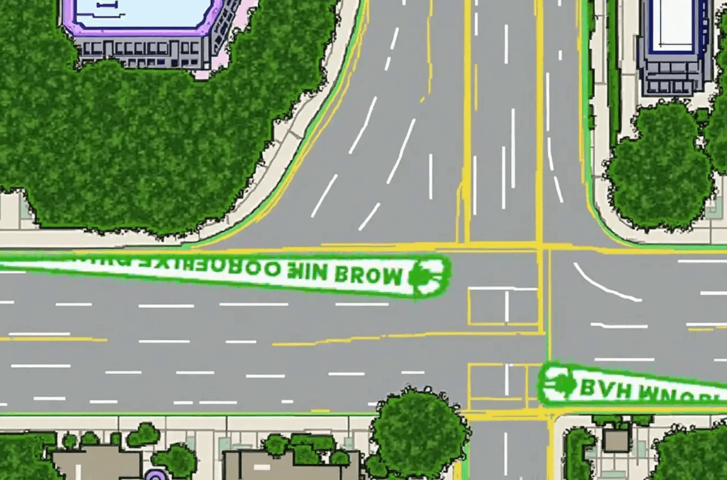
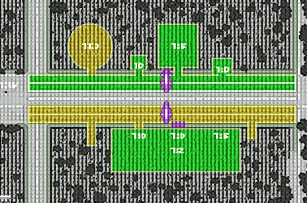
Road and Highway Mapping
LiDAR data, which our company offers, gives precision in the measurement of the range of traffic features such as road features, roadway markings, traffic signs, and surface situation. The framework that has been developed in our company assists in planning transportation tracks and checking the roads to determine its relevance in terms of both maintenance and safety to push the infrastructure developments.

Infrastructure and Asset Management
The Mobile LiDAR technology helps in conducting effective analyses of infrastructure features, such as bridges, railways, and utility networks, as well as their subsequent surveys. Our data-driven approaches result in a more efficient way of asset registration and infrastructure assessment and allow more effective maintenance planning that could extend the lifespan of crucial infrastructure.
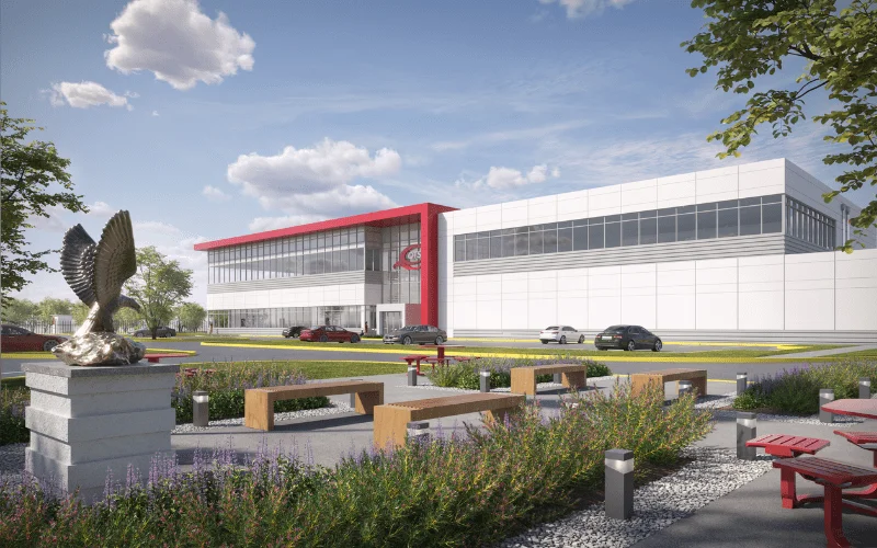
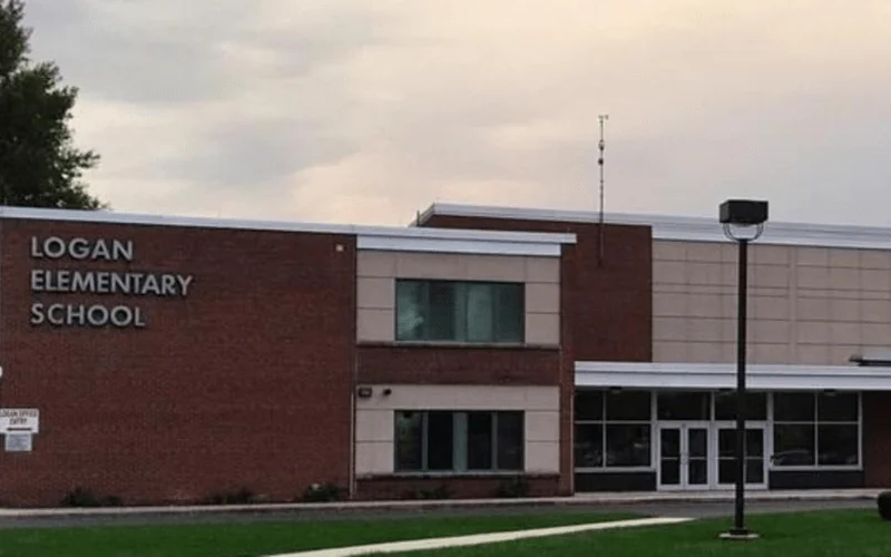
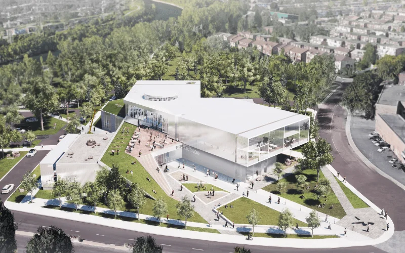
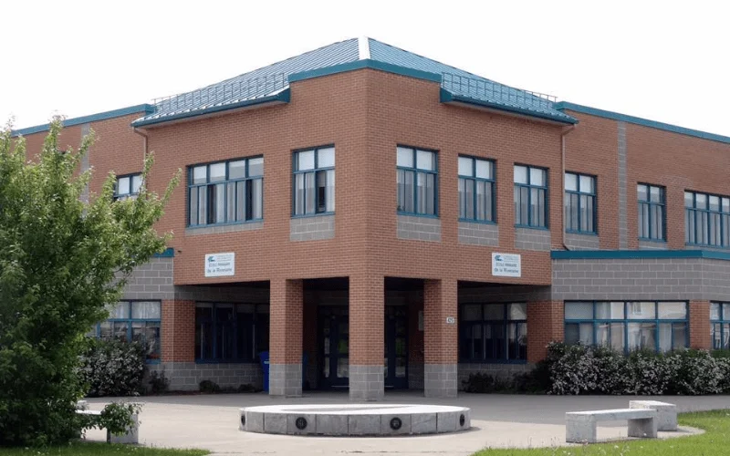
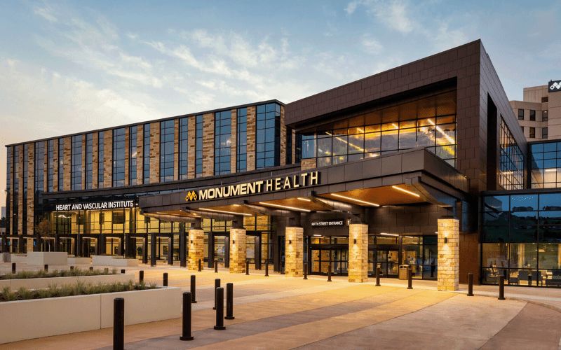
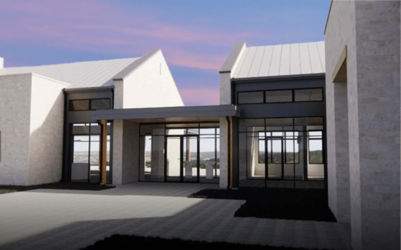
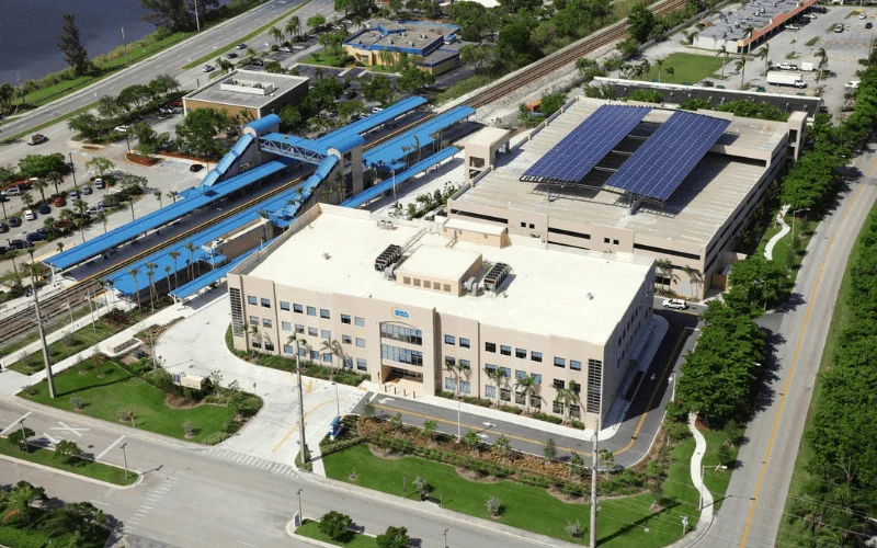
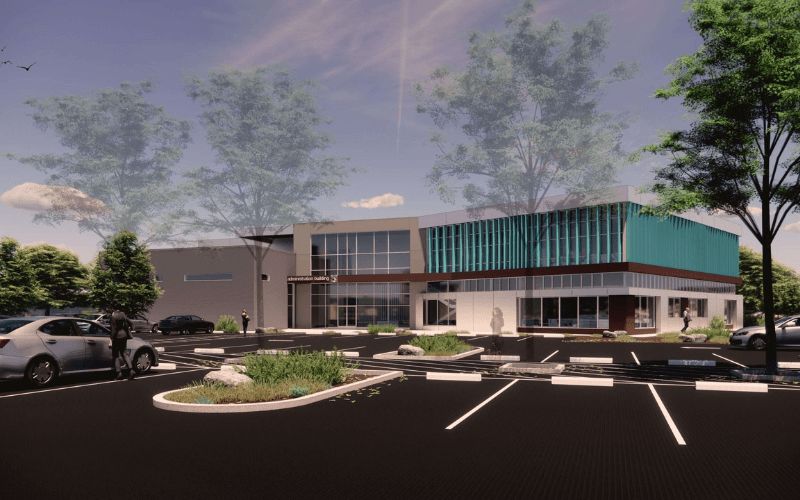
Recent Projects
2,500+ BIM Modeling Services Projects Across the USA


Unlock advantages
Benefit Yourself By Working With Us

- Offers rapid and extremely precise mobile LiDAR scanning; no expensive equipment or teams of experts are required, lowering initial investment and making it difficult to work.
- Provides high-quality location analysis with sophisticated mobile LiDAR equipment and competent staff, who can be trusted, and any analysis is to be accurate and in accordance with your project needs.
- Suppliers enable businesses to simplify the processes of data collection, data processing, and data classification, and to concentrate their teams on the basic goals and the strategic priorities.
- Guarantees fast turnaround time using refined datasets, power features extraction, and optimization of classification processes, which aid in timely project completion.
- Holds a high level of consistency based on the efficient process of quality control/quality assurance to provide reliable and good quality geospatial data to make good decisions.
- The experience, innovation, and service models in the industry are also available, which contribute to long-term effectiveness, scalability, and project success with ASC Technology Solutions.
How We Work
Our BIM Workflow
We have combined technical skills with real project knowledge to provide quality BIM-based solutions. From early concept to detailed execution, we strive to make the right decisions, collaborate, and create long-term value that helps make decisions smarter and project-based results successful.
01
Concept & Consultation
The first step we take towards your project is to know about your objectives and the technical challenges of the project. Our professionals work hand-in-hand with the stakeholders to establish the scope, expectations, and a solid ground for efficient and quality delivery of the BIM.
02
Design & Planning
Our team is able to produce coordinated BIM models that are clear and precise, reflecting design intent. We also plan and validate to ensure there is an optimized workflow, fewer conflicts, and improved coordination of all project disciplines.
03
Development & Execution
We have approved designs that we convert to fine BIM models, ready to construct. Our execution phase stresses compliance and accuracy which the effective coordination is achieved, and the rework is reduced, enabling projects to proceed smoothly.
04
Final Delivery & Handover
We provide complete validated BIM models and documents depending on the project requirements. We have a well-organized handover approach that guarantees a seamless transition operation, and proper data accessibility with long-term functionality to the construction, operation, and facility management teams.


- 2k+
Align with Businesses that Choose Quality
Model insights
Sample Drawings
Take a closer look at our sample drawings to see how we transform complex project requirements into clear, precise outputs.

Your Guide
FAQ
A mobile LiDAR device combines laser scanner technology mounted to moving vehicles to produce precise, high-definition, three-dimensional spatial data. The technology delivers reliable as well as rapid survey capabilities for examining roads, together with cities and infrastructure systems.
The procedure of LiDAR technology generates detailed three-dimensional geographic representations that precisely depict landscapes and infrastructure, together with buildings, based on LiDAR mapping. The system serves multiple applications in topographic surveys, helps urban planners, and supports environmental observation activities.
The procedure of getting geospatial data through mobile LiDAR systems installed on platforms like drones and vehicles constitutes 3D mobile mapping. This technology facilitates the quick generation of accurate three-dimensional models for road examination, city design work, and infrastructure monitoring.
Mobile LiDAR functions as a remote sensing instrument that gathers precise 3D data through laser pulse emission from portable moving platforms that include vehicles. The laser beam measurement tool tracks the amount of time required for returning beams to offer detailed point cloud data that supports mapping activities and subsequent analysis.
LiDAR mapping is used for a variety of applications, including road and highway mapping, urban development, flood modeling, forestry management, power line inspections, and infrastructure monitoring. It provides highly accurate spatial data for decision-making and planning.