Seamless Modeling
Turning Imagery into Actionable 3D Intelligence
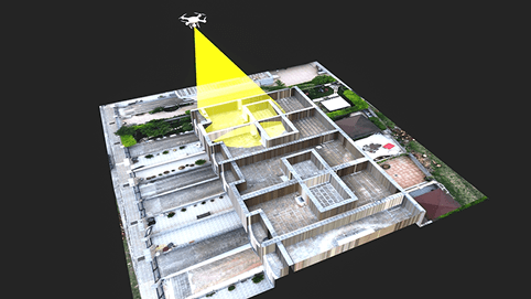
ASC technology solutions provide accurate photogrammetry solutions that will help in converting the aerial and satellite images and satellites into very accurate 3D models that have geospatial intelligence.
Through complex digital image processing, to assist land surveying, construction planning, environmental analysis, and agricultural monitoring, we produce elaborated orthophotos and more than one type of 3D model. Our solutions allow the stakeholders to see the terrain and assets clearly and confidently. We combine remote sensing technology with GIS to aid organisations in managing spatial data effectively. We offer services of transportation planning, land administration, and utility mapping projects. The deliverables are each available to meet the industry accuracy standards. We are able to guarantee credible outcomes that can be used to make informed decisions.
Impactful design
Scalable Photogrammetry Solutions Built for Real-World Projects
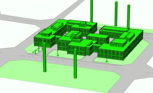
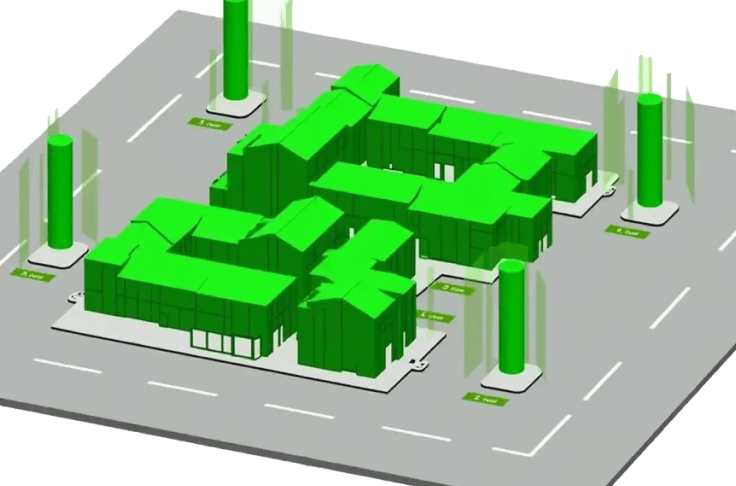
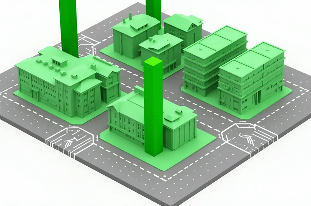
Our total photogrammetry services include terrain modeling, 3D representation, and production of high-resolution digital orthophotos. ASC Technology Solutions retrieves the important geospatial knowledge of aerial, satellite, and LiDAR images to aid city modelling, cadastral mapping, and urban design. Our highly qualified experts are able to provide solutions based on best practices and state-of-the-art software. We assist the contractors, planners, and construction teams with reliable spatial knowledge. Each of our projects is guided by accuracy, efficiency, and the reduction of costs. Strategic outsourcing allows the client to benefit from the advantage of having specialized knowledge at zero operational costs. Photogrammetry is used to construct wiser infrastructure and plan better with our solutions.
Transformative Solutions
Our Extensive Photogrammetry Services
Turning complex ideas into practical, high-quality outcomes while empowering clients to achieve success with confidence and clarity.
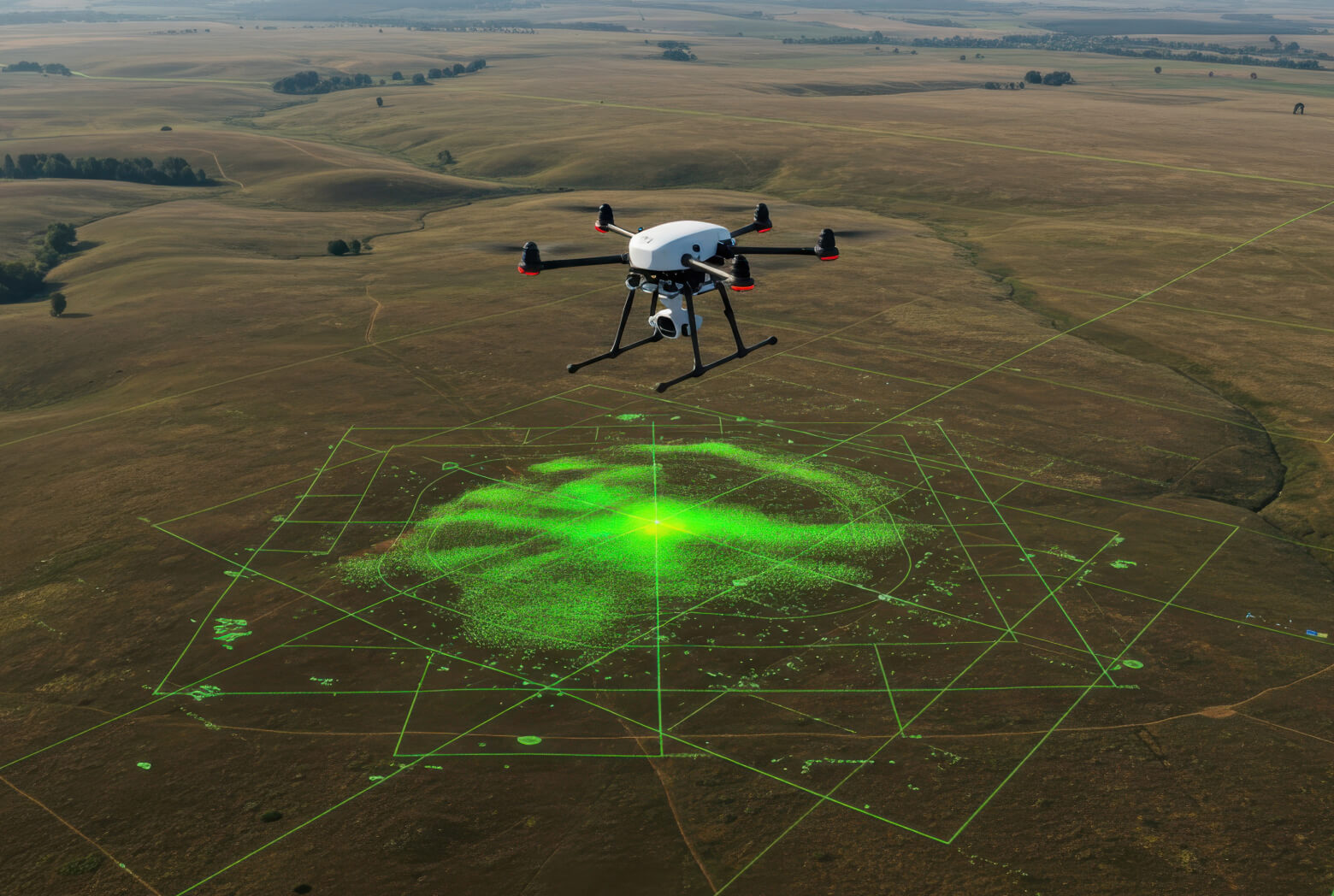
Precision Terrain Mapping
Photogrammetry and aerial photogrammetry are a team with the current technology to work with accurate procedures of terrain mapping. Our sophisticated photogrammetry systems are under the standards set by the industry in order to create terrain maps that are precision-based in terms of developing infrastructure planning of the urban zones and environmental surveillance.
3D Modeling and Planimetric Feature Extraction
Their 3D modeling skills help our team to develop comprehensive digital models and extract relative planimetric features of many structures in a very short period. The system provides quick, accurate project delivery that is appropriate to the architectural planning, transportation infrastructure, and land management projects.
Scalable Photogrammetric Solutions
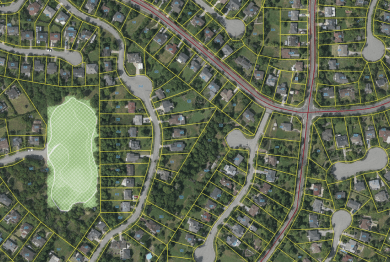
The size of photogrammetric projects that our organisation deals with is not limited. Our team has achieved amazing results through the extensive photogrammetric mapping projects, which have ensured that the large-scale areas are covered with high efficiency and accuracy in the agricultural, mining industries, and disaster management missions.

Stringent Quality Control Measures
We have a quality control evaluation of our projects at various stages to ensure maximum perfection in all the results. Strict QA/QC standards allow us to produce an outstanding end product that is used to make accurate decisions during spatial analysis surveys and mapping systems.
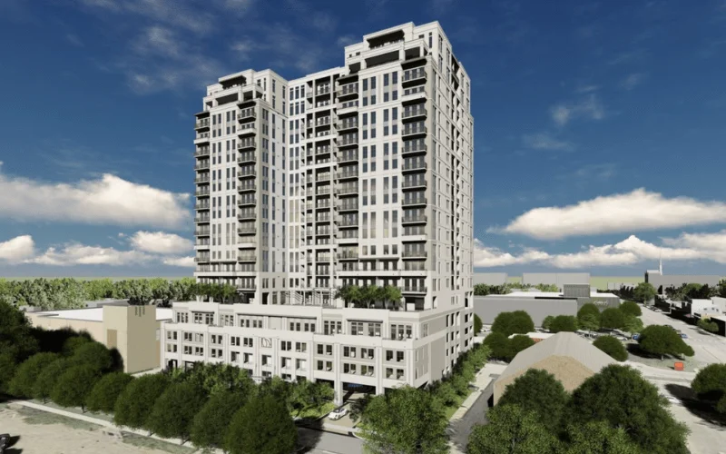
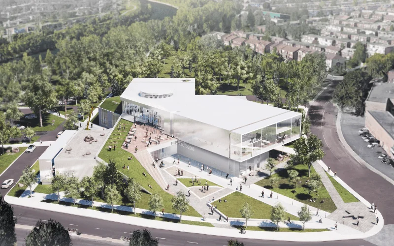
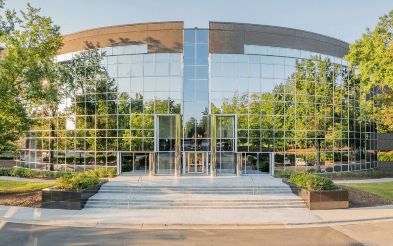
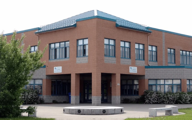
Recent Projects
2,500+ BIM Modeling Services Projects Across the USA


Unlock advantages
Benefit Yourself By Working With Us
- By contracting photogrammetry services with the help of ASC Technology Solutions, it is possible to access high-quality technology and professional workers without spending money on expensive equipment and software licenses. This assists the organizations in saving their operational costs and being very accurate.
- We provide high-quality and accurate maps and 3D models with experienced teams that are used to assist in quality planning, analysis, and visualization in various projects, depending on the requirements of a project.
- The expedited project turnaround has been achieved by the use of an efficient workflow, and the scalability of the large volumes of datasets and timelines is in line with the industry and project demands.
- Accurate and consistent geospatial data, supported by rigorous quality control procedures, are essential for sound decision-making in the fields of urban planning, infrastructure development, and environmental monitoring.
- Models of flexible outsourcing enable companies to readily adjust resources in accordance with constantly shifting workloads, without commitment or economies of scale.
- The products of reliable photogrammetry would help to better allocate the resources, make operations work more efficiently, and provide an opportunity to conduct the project implementation more successfully, from the moment of planning till the implementation process.
How We Work
Our BIM Workflow
We have combined technical skills with real project knowledge to provide quality BIM-based solutions. From early concept to detailed execution, we strive to make the right decisions, collaborate, and create long-term value that helps make decisions smarter and project-based results successful.
01
Concept & Consultation
The first step we take towards your project is to know about your objectives and the technical challenges of the project. Our professionals work hand-in-hand with the stakeholders to establish the scope, expectations, and a solid ground for efficient and quality delivery of the BIM.
02
Design & Planning
Our team is able to produce coordinated BIM models that are clear and precise, reflecting design intent. We also plan and validate to ensure there is an optimized workflow, fewer conflicts, and improved coordination of all project disciplines.
03
Development & Execution
We have approved designs that we convert to fine BIM models, ready to construct. Our execution phase stresses compliance and accuracy which the effective coordination is achieved, and the rework is reduced, enabling projects to proceed smoothly.
04
Final Delivery & Handover
We provide complete validated BIM models and documents depending on the project requirements. We have a well-organized handover approach that guarantees a seamless transition operation, and proper data accessibility with long-term functionality to the construction, operation, and facility management teams.


- 2k+
Align with Businesses that Choose Quality
Model insights
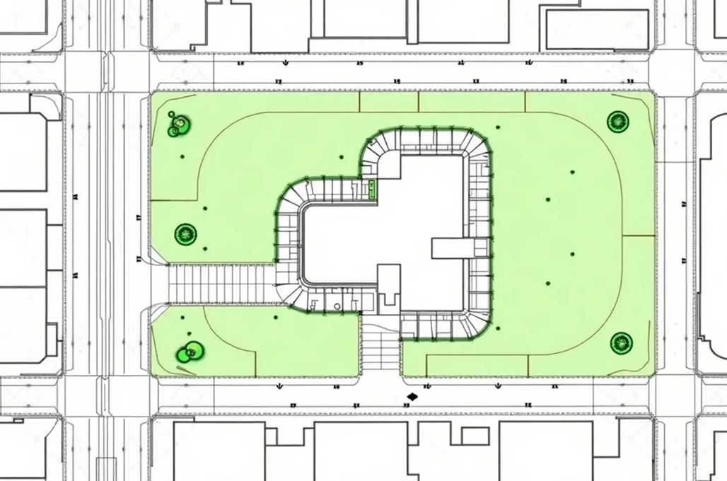
Sample Drawings
Take a closer look at our sample drawings to see how we transform complex project requirements into clear, precise outputs.


Your Guide
FAQ
Photogrammetry functions as a remote sensing procedure that develops precise dimensional data and three-dimensional representations from picture documentation. Photogrammetry operates by processing images captured from aerial satellite and ground-based platforms to generate accurate geospatial information, including maps, topographic models, and spatial datasets.
Photogrammetry is widely applied in topographic mapping, land surveying, architectural documentation, forestry, mining, disaster management, and infrastructure development. It supports precise measurement and visualisation for better decision-making and planning.
The three main types of photogrammetry are aerial photogrammetry (using images captured from aircraft or drones), terrestrial photogrammetry (ground-based image capture for close-range applications), and satellite photogrammetry (using satellite imagery for large-scale mapping and analysis).
The technology of photogrammetry helps different business sectors generate precise maps together with three-dimensional spatial data through models for urban planning, construction, environmental assessments, and agricultural processes. Geospatial information extraction occurs without needing real-world measurement procedures.
3D scanning relies on lasers or structured light devices to measure precise surface depth, while photogrammetry relies on multiple image overlays to reconstruct shapes. Photogrammetry provides better cost savings while offering appropriate solutions for extensive map creation tasks.
Photogrammetry system accuracy depends on the camera resolution and how well the images overlap, together with the techniques used in data processing. The accuracy of aerial photogrammetry reaches a few centimetres, yet satellite-based methods can achieve a precision of around one meter. Geospatial information possesses high-reliability levels because of advanced data processing methods.